Public domain
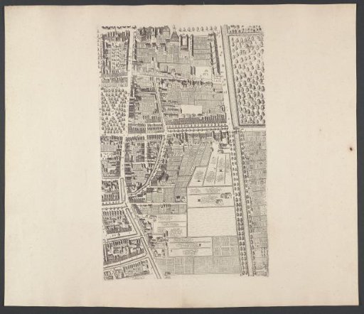
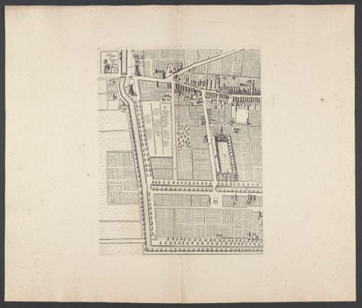
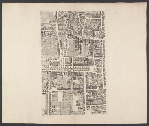
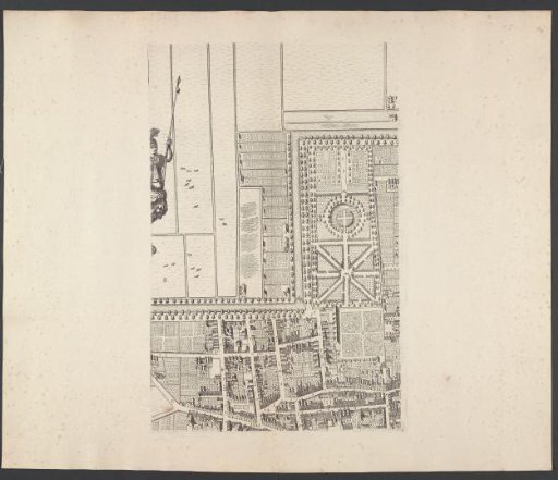
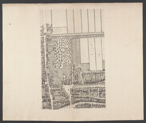
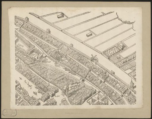
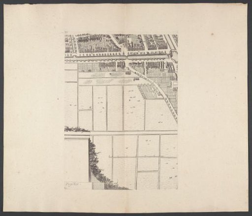
Map of The Hague (eleventh part)
From the collection of Rijksmuseum, Amsterdam. Free to download, adapt and use — no permission needed.
About this work
Eleventh part of a map of The Hague. In the center at the bottom, a scale bar of 60 unknown units. Numbered in the lower right: 11.
Rijksmuseum, Amsterdam’s own descriptionCredit linePlattegrond van Den Haag (elfde deel). 1665 - 1667. Cornelis Elandts. Rijksmuseum, Amsterdam. Public domain.