Public domain
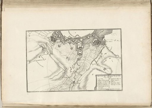
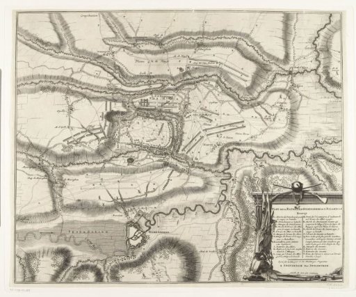
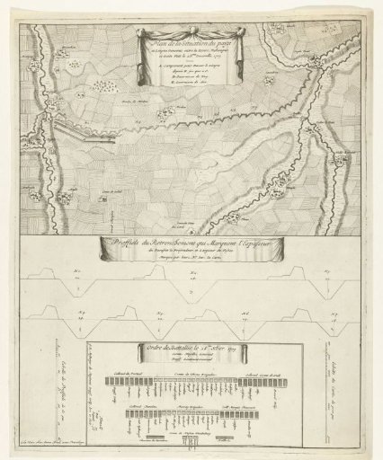
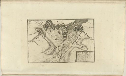
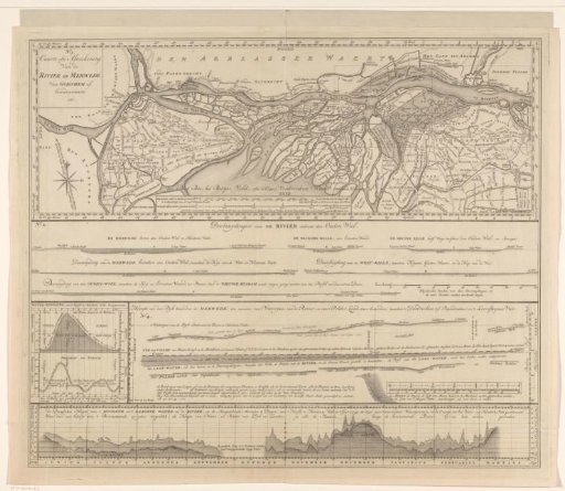
Overview sheet for the map of the Merwede
From the collection of Rijksmuseum, Amsterdam. Free to download, adapt and use — no permission needed.
About this work
Overview sheet for a detailed two-part map of the Merwede (RP-P-AO-14-31). The sheet contains a map of the Merwede from the Island of Dordrecht to Slot Loevestein. This map covers a larger area than RP-P-AO-14-31; the area represented on the two-part map is indicated in the upper right by the two upper rectangles. Below the map are cross-sections and tide graphs.
Rijksmuseum, Amsterdam’s own descriptionCredit lineOverzichtsblad bij kaart van de Merwede. 1730. David Coster. Rijksmuseum, Amsterdam. Public domain.