Public domain
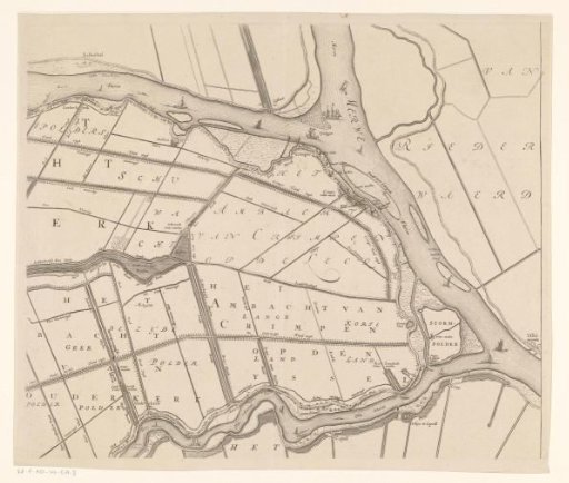
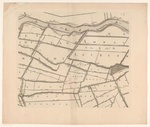
Map of the Hoogheemraadschap of the Krimpenerwaard (third part of the map)
From the collection of Rijksmuseum, Amsterdam. Free to download, adapt and use — no permission needed.
About this work
Third part of the map of the sixth edition of 'Het Hooge Heemraadschap van de Crimpenre Waard', a wall map (consisting of a six-part map and a coat-of-arms border) of the Hoogheemraadschap of the Krimpenerwaard.
Rijksmuseum, Amsterdam’s own descriptionSubjects
Credit lineKaart van het Hoogheemraadschap van de Krimpenerwaard (derde deel van kaart). 1683. Johannes Leupenius. Rijksmuseum, Amsterdam. Public domain.
Similar works
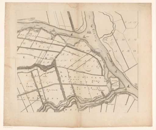 Map of the Hoogheemraadschap of the Krimpenerwaard (third part of the map)
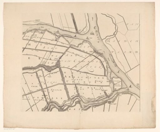 Map of the Hoogheemraadschap of the Krimpenerwaard (third part of the map)
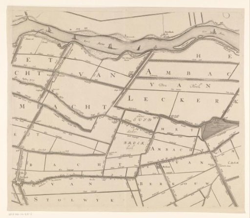 Map of the Hoogheemraadschap of the Krimpenerwaard (second part of the map)
 Map of the Hoogheemraadschap of the Krimpenerwaard (second part of the map)
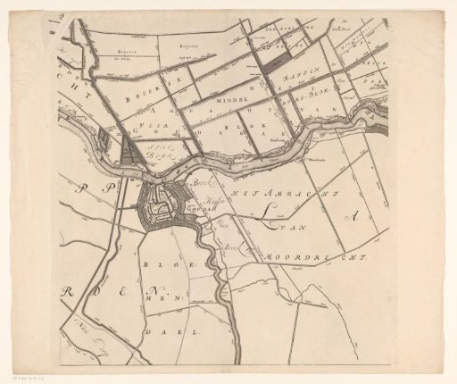 Map of the Hoogheemraadschap of the Krimpenerwaard (fifth part of the map)
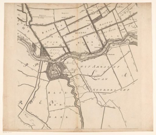 Map of the Hoogheemraadschap of the Krimpenerwaard (fifth part of the map)