Public domain
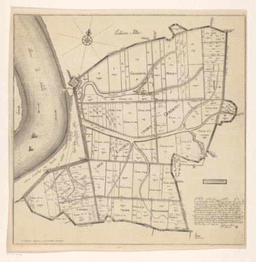
Map of the polders of Oorderen, Wilmarsdonk and Ordam
From the collection of Rijksmuseum, Amsterdam. Free to download, adapt and use — no permission needed.
About this work
Map of the polders of Oorderen, Wilmarsdonk, and Ordam, with field division. In the lower right, a text about the polder and the land measurements. Above the text, a scale bar.
Rijksmuseum, Amsterdam’s own descriptionCredit lineKaart van de polders van Oorderen, Wilmarsdonk en Ordam. 1723. Jan Baptist Jongelinx. Rijksmuseum, Amsterdam. Public domain.
Similar works
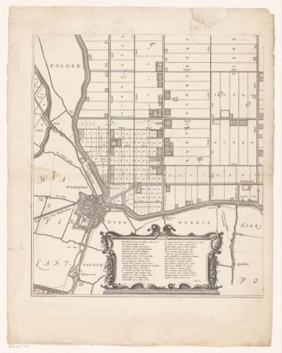 Map of the Beemster (lower left section)
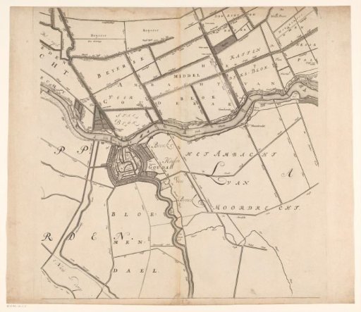 Map of the Hoogheemraadschap of the Krimpenerwaard (fifth part of the map)
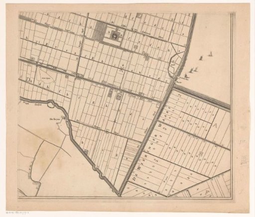 Map of the Zijpe and Hazepolder (lower right part)
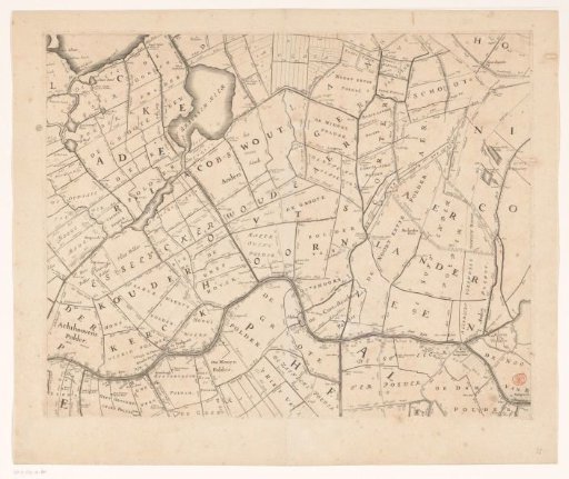 Map of the Hoogheemraadschap of Rijnland (eleventh part)
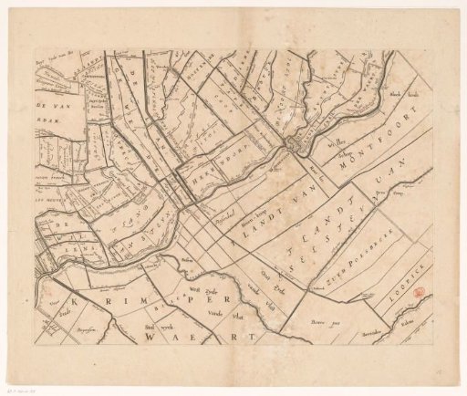 Map of the Hoogheemraadschap of Rijnland (fifteenth part)
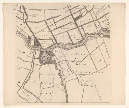 Map of the Hoogheemraadschap of the Krimpenerwaard (fifth part of the map)