Public domain
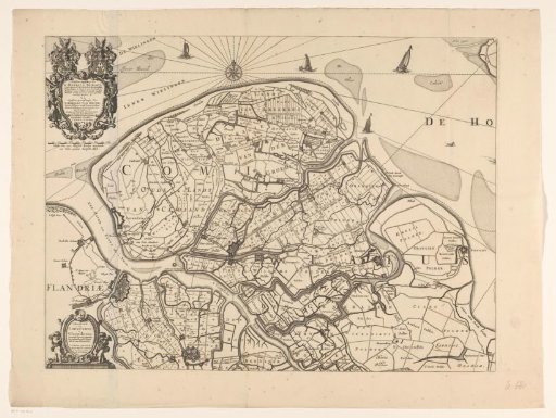
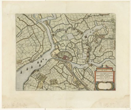
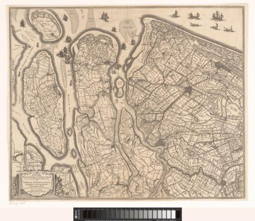
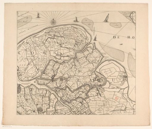
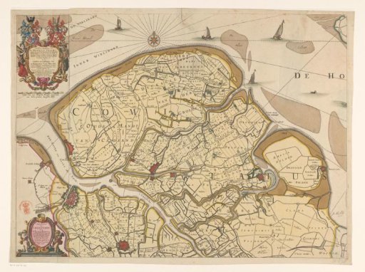
Map of Zeelandic Flanders
From the collection of Rijksmuseum, Amsterdam. Free to download, adapt and use — no permission needed.
About this work
Map of Zeelandic Flanders. In the upper left a cartouche decorated with coats of arms, dedicated to Hendricus Thibaut and Adrianus van Hecke. Below a scale: Scale of 1000 Blois rods making half a common German mile 1000. In the lower left a cartouche with title and publisher's address.
Rijksmuseum, Amsterdam’s own descriptionCredit lineKaart van Zeeuws-Vlaanderen. 1655 - 1656. anonymous. Rijksmuseum, Amsterdam. Public domain.