Public domain
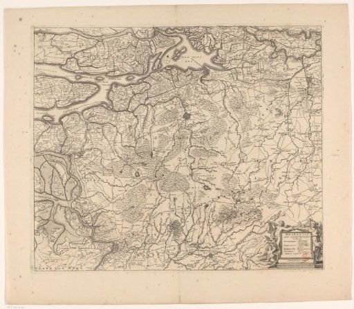
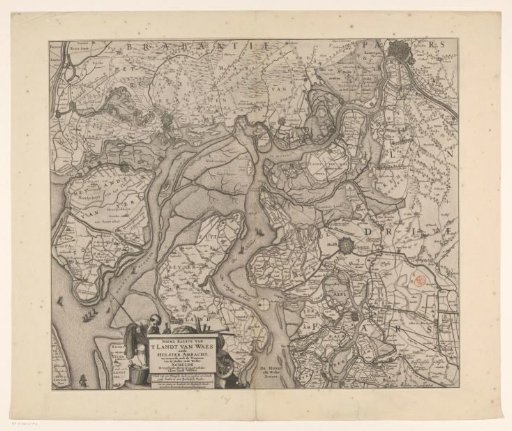
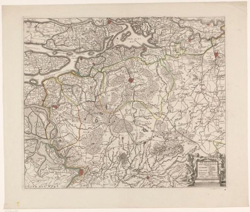
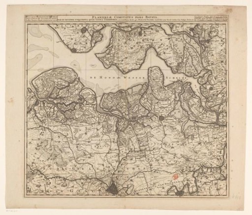
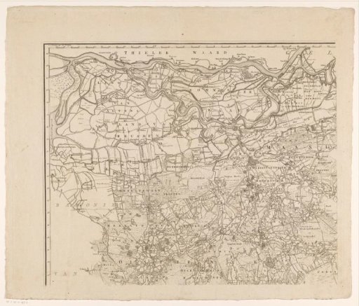
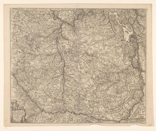
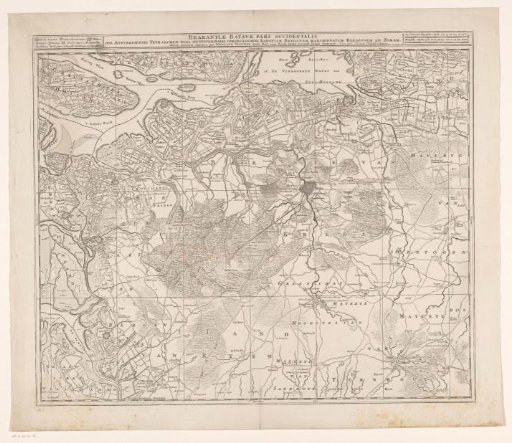
Map of Brabant
From the collection of Rijksmuseum, Amsterdam. Free to download, adapt and use — no permission needed.
About this work
Sketchbook consisting of 40 sheets with landscapes in and around Maarssen, Amsterdam, the IJ, Breukelerwaard, Breukelen, Tienhoven, Maarsseveen and the Vecht. Further some drawings of sailing ships, haymaking farmers, cows, mills and a scissor-slip.
Rijksmuseum, Amsterdam’s own descriptionSubjects
Credit lineKaart van Brabant. 1677 - 1720. anonymous. Rijksmuseum, Amsterdam. Public domain.