Public domain
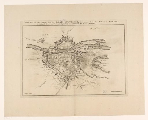
Plan of the fortifications around the city of Maastricht, 1748
From the collection of Rijksmuseum, Amsterdam. Free to download, adapt and use — no permission needed.
About this work
Plan of the defensive works around the city of Maastricht, at the time of the siege of the city by the French under Maurice of Saxony and Lowendal from April 15 and taken on May 7, 1748. Bottom right a scale bar: Scale of 200 Rods.
Rijksmuseum, Amsterdam’s own descriptionCredit linePlattegrond van de verdedigingswerken om de stad Maastricht, 1748. 1748 - 1750. anonymous. Rijksmuseum, Amsterdam. Public domain.