Public domain
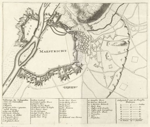
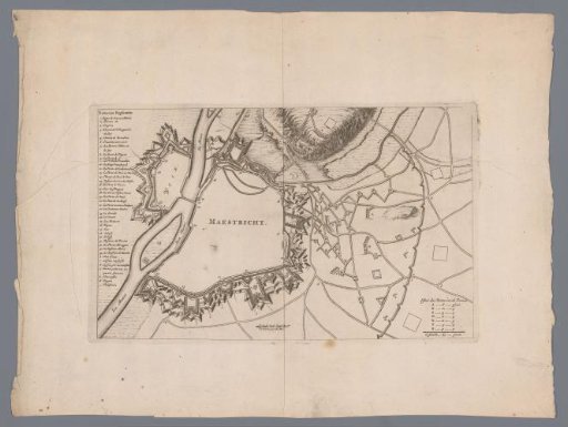
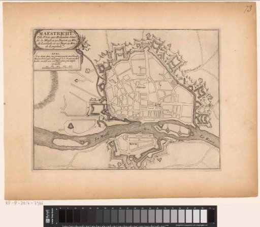
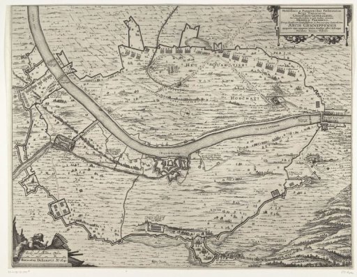
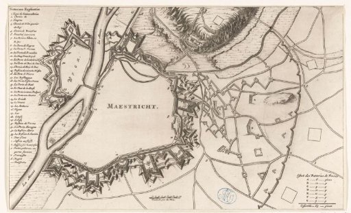
Plan of Maastricht, 1678
From the collection of Rijksmuseum, Amsterdam. Free to download, adapt and use — no permission needed.
About this work
Map of Maastricht, with the fortifications as they were at the return of the city by the French at the Peace of Nijmegen in 1678. With legend 1-33 in French on the left. At the bottom, in the middle, a scale bar: 100 Pieds du pais du Rhin.
Rijksmuseum, Amsterdam’s own descriptionCredit linePlattegrond van Maastricht, 1678. 1678 - 1699. anonymous. Rijksmuseum, Amsterdam. Public domain.