Public domain
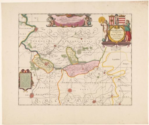
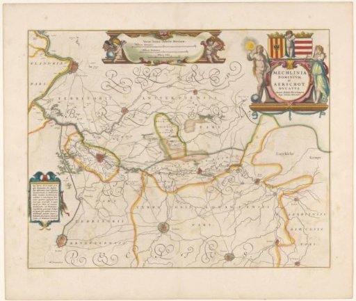
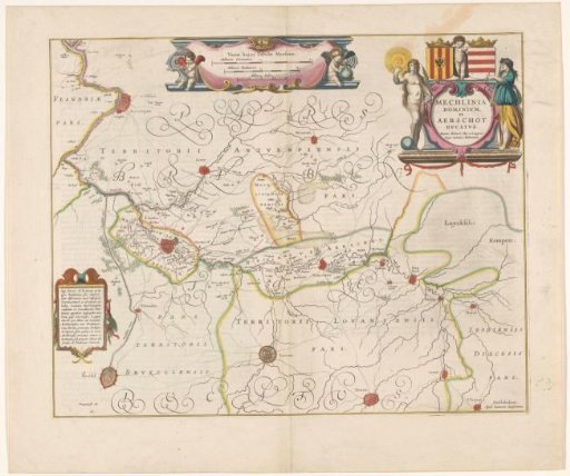
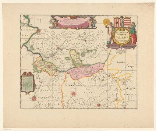
Map of a part of Flanders
From the collection of Rijksmuseum, Amsterdam. Free to download, adapt and use — no permission needed.
About this work
Map of a part of Flanders, the area around Mechelen and Aarschot. In the upper right the title cartouche with, above it on the left the coat of arms of Mechelen and on the right a variant of the coat of arms of Leuven. To the left of the title cartouche an allegory of Truth, to the right Justitia. At the top of the map a cartouche with three scale bars: 2 Milliaria Germanica / 2 Milliaria Brabantica / 4 Milliaria Italica. In the lower left a cartouche with text. The map is provided with a coordinate net and a degree division along the edges.
Rijksmuseum, Amsterdam’s own descriptionCredit lineKaart van een deel van Vlaanderen. 1636. anonymous. Rijksmuseum, Amsterdam. Public domain.