Public domain
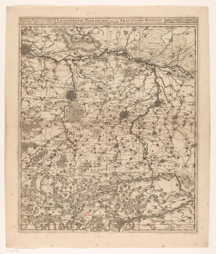
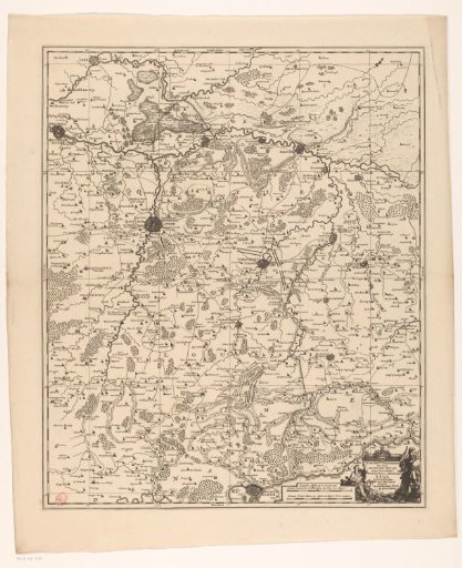
Map of the quarter of Leuven, part of the Duchy of Brabant
From the collection of Rijksmuseum, Amsterdam. Free to download, adapt and use — no permission needed.
About this work
Map of the quarter of Leuven, one of the four quarters into which the Duchy of Brabant is divided. On the map, armies and fortifications from the War of the Spanish Succession are indicated. In the lower right, a title cartouche with the coat of arms of Leuven. To the left of the cartouche, two scale bars: German Miles 15 in a Degree / 2 Walking Hours. The map is provided with a coordinate grid and a degree division along the edges.
Rijksmuseum, Amsterdam’s own descriptionCredit lineKaart van het kwartier van Leuven, onderdeel van het hertogdom Brabant. 1726 - 1750. anonymous. Rijksmuseum, Amsterdam. Public domain.