Public domain
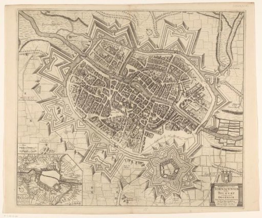
Plan of the city of Tournai during the siege of 1709
From the collection of Rijksmuseum, Amsterdam. Free to download, adapt and use — no permission needed.
About this work
Plan of the city of Tournai during the siege of 1709, with buildings in bird's-eye view. The title cartouche with the coat of arms of Tournai above it is in the lower right. An inset map of the surroundings of Tournai with the siege lines in the lower left. Above it, a frame with two scale bars: Schale van 50 Roeden / 100 Vadem 100 Toises.
Rijksmuseum, Amsterdam’s own descriptionCredit linePlattegrond van de stad Doornik tijdens het beleg van 1709. 1698. anonymous. Rijksmuseum, Amsterdam. Public domain.