Public domain
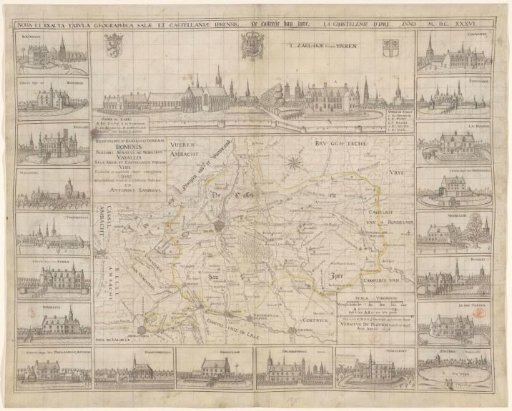
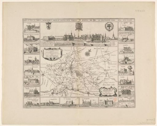
Map of the Bailiwick of Ypres and a view of Ypres
From the collection of Rijksmuseum, Amsterdam. Free to download, adapt and use — no permission needed.
About this work
Map of the Bailiwick of Ypres. In the lower right a cartouche with three scales: 1600 Scala Virgarum Flandricarum / Hora Itineris / 1/80 pars Virgae Flandricae. Above the map a view of Ypres, with the coat of arms of Flanders in the upper left, the coat of arms of the King of Spain in the center at the top, and in the upper right probably a coat of arms referring to the city or the Bailiwick of Ypres. In a bar above the city view the title. Along the left and right edges and the bottom of the map twenty views of castles from the surroundings of Ypres. With Latin text on the verso.
Rijksmuseum, Amsterdam’s own descriptionCredit lineKaart van de kasselrij Ieper en een gezicht op Ieper. 1641. Vedastus du Plouich. Rijksmuseum, Amsterdam. Public domain.