Public domain
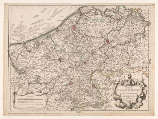
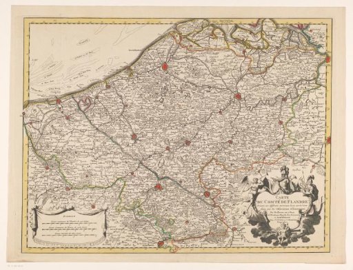
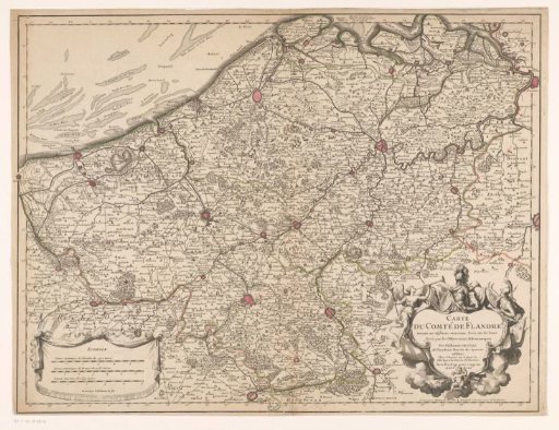
Map of the County of Flanders
From the collection of Rijksmuseum, Amsterdam. Free to download, adapt and use — no permission needed.
About this work
Map of the County of Flanders. In the lower right, the title cartouche with, on the left, a personification of Fame and on the right, Minerva. In the lower left, a cartouche with three scale bars: Lieues communes d Flandre de 2500 toises / Lieues communes de France de 2282 toises / Lieues marines de 2853 toises. The map is provided with a degree distribution along the edges.
Rijksmuseum, Amsterdam’s own descriptionCredit lineKaart van het graafschap Vlaanderen. 1704. Liébaux fils, Henri. Rijksmuseum, Amsterdam. Public domain.