Public domain
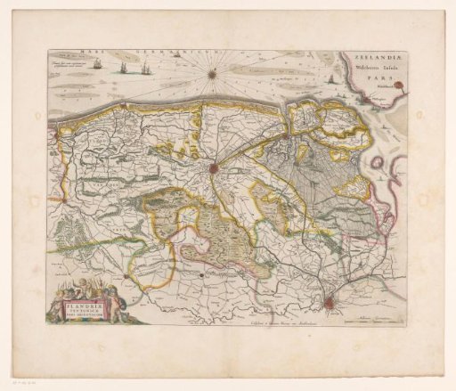
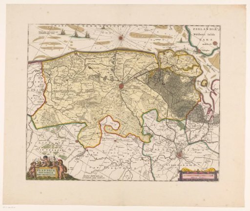
Map of the Brugse Vrije
From the collection of Rijksmuseum, Amsterdam. Free to download, adapt and use — no permission needed.
About this work
Map of the Brugse Vrije, the largest bailiwick of the County of Flanders. Title cartouche in the bottom left corner. Cartouche with scale bar in the bottom right corner: 2 Milliaria Germanica. The map is provided with a coordinate grid and a degree division along the edges.
Rijksmuseum, Amsterdam’s own descriptionCredit lineKaart van het Brugse Vrije. 1645. anonymous. Rijksmuseum, Amsterdam. Public domain.