Public domain
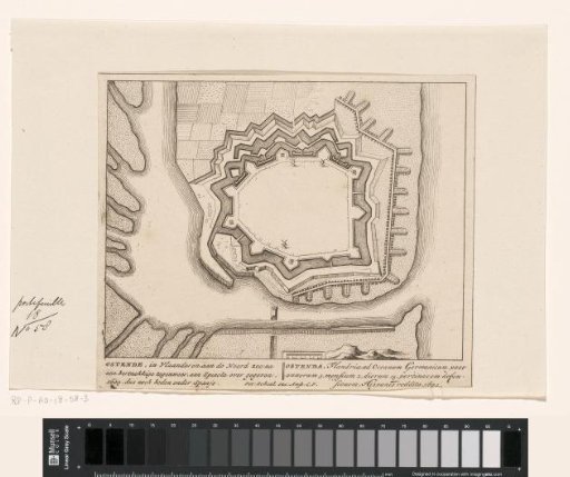
Fortress map of Ostend
From the collection of Rijksmuseum, Amsterdam. Free to download, adapt and use — no permission needed.
About this work
Fortress plan of Ostend. After the Siege of Ostend in 1604 conquered by the Spaniards. Below the representation three-line inscriptions in Dutch and Latin.
Rijksmuseum, Amsterdam’s own descriptionCredit lineVestingplattegrond van Oostende. 1695 - 1711. anonymous. Rijksmuseum, Amsterdam. Public domain.