Public domain
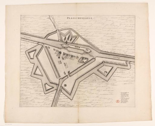
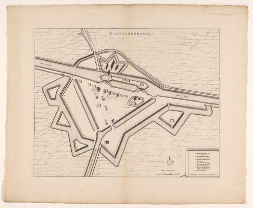
Map of Plassendale
From the collection of Rijksmuseum, Amsterdam. Free to download, adapt and use — no permission needed.
About this work
Map of Plassendale with buildings in bird's-eye view. The Bruges-Ostend canal runs through Plassendale, allowing navigation from the hinterland of Ghent to Ostend. Title at the top, in the middle. Cartouche with legend a-f in the bottom right. To the left of this a scale bar: Scale of 75 Rods.
Rijksmuseum, Amsterdam’s own descriptionCredit linePlattegrond van Plassendale. 1698. anonymous. Rijksmuseum, Amsterdam. Public domain.