Public domain
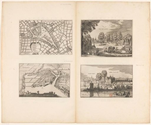
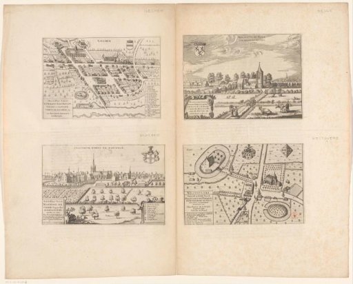
Map of Sint-Niklaas and views of Rupelmonde, the Castle of Temse, and Lokeren
From the collection of Rijksmuseum, Amsterdam. Free to download, adapt and use — no permission needed.
About this work
Upper left: a map of Sint-Niklaas, with buildings in bird's-eye view. Below, left of center: a cartouche with legend 1-14. To the left of this: a scale bar: 500 Gendtsche voeten. Upper right: a view of Rupelmonde, including a carriage, a beggar, and a shepherd with a flock of sheep. Lower right: a view of the Castle of Temse, seen from the Scheldt. Lower left: a bird's-eye view of Lokeren. Dutch text on the verso.
Rijksmuseum, Amsterdam’s own descriptionCredit linePlattegrond van Sint-Niklaas en gezichten op Rupelmonde, het Kasteel van Temse en Lokeren. 1652. anonymous. Rijksmuseum, Amsterdam. Public domain.
Similar works
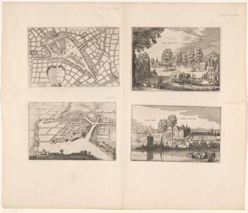 Map of Sint-Niklaas and views of Rupelmonde, the Castle of Temse, and Lokeren
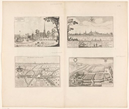 View of Elverdinge, Lo, Zottegem, and a map of Roesbrugge
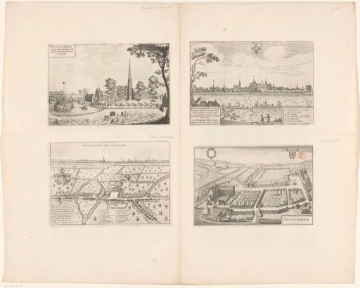 View of Elverdinge, Lo, Zottegem, and a map of Roesbrugge
 View of Heule and Dadizele with a map of Izegem and Westouter
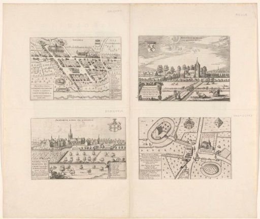 View of Heule and Dadizele and a Map of Izegem and Westouter
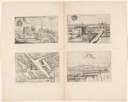 View of Boezinge, Waregem and Harelbeke and a map of Roeselare