Public domain
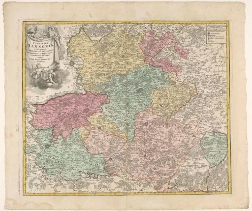
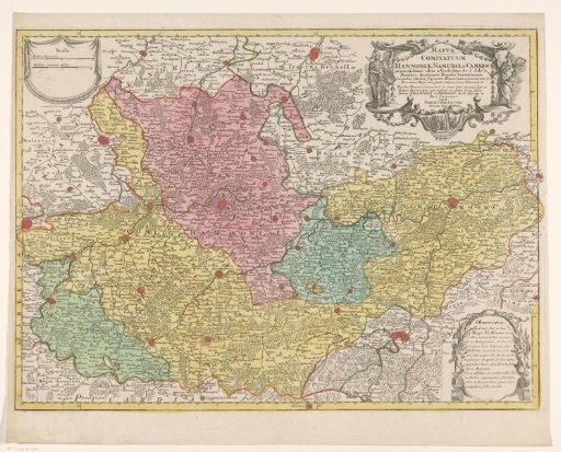
Map of the Counties of Hainaut and Namur and the Archdiocese of Cambrai
From the collection of Rijksmuseum, Amsterdam. Free to download, adapt and use — no permission needed.
About this work
Map of the Counties of Hainaut and Namur and the Archdiocese of Cambrai. In the upper right, the title cartouche with mention of Francois Fénelon from 1695 to 1715, Archbishop of Cambrai. In the upper left, a cartouche with two scale bars: 4 Milliaria Hannoniae / 4 Milliaria communia Gallica. In the lower right, a piece of text about the map in Latin. The map is provided with a degree division along the edges.
Rijksmuseum, Amsterdam’s own descriptionCredit lineKaart van de graafschappen Henegouwen en Namen en het aartsbisdom Kamerijk. 1757 - 1777. anonymous. Rijksmuseum, Amsterdam. Public domain.