Public domain
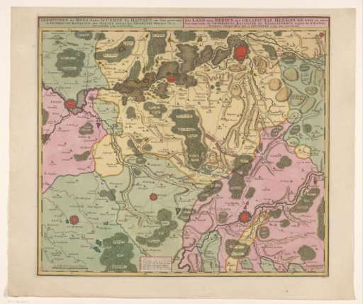
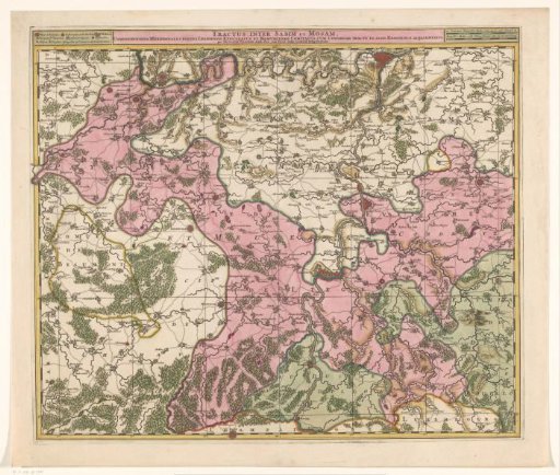
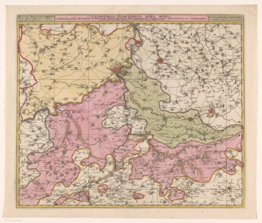
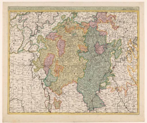
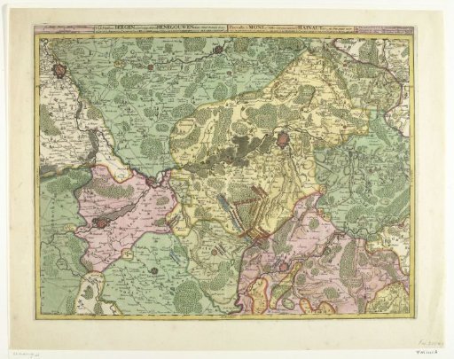
Map of Hengouwen with Bergen and surrounding cities, 1709
From the collection of Rijksmuseum, Amsterdam. Free to download, adapt and use — no permission needed.
About this work
Map of Hengouwen with Mons (Bergen) and surrounding cities (Valenciennes, Condé, Tournai, Ath and Maubeuge), with the positions of the armies at the Battle of Malplaquet on 11 September 1709.
Rijksmuseum, Amsterdam’s own descriptionCredit lineKaart van Hengouwen met Bergen en omliggende steden, 1709. 1709. Abraham Allard. Rijksmuseum, Amsterdam. Public domain.