Public domain
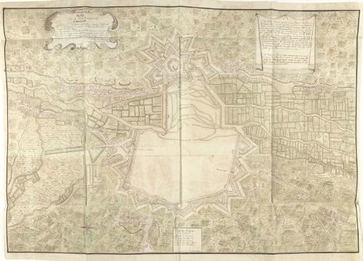
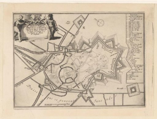
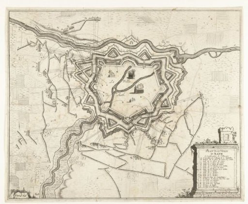
Map of the Siege of Ath, 1706
From the collection of Rijksmuseum, Amsterdam. Free to download, adapt and use — no permission needed.
About this work
Map of Ath, besieged and captured by the Allies under the Lord of Ouwerkerk from the French, 2 October 1706. Bottom right a cartouche with the legend A-T in French.
Rijksmuseum, Amsterdam’s own descriptionSubjects
Credit lineKaart van het beleg van Ath, 1706. 1706. Pieter van Call (II). Rijksmuseum, Amsterdam. Public domain.