Public domain
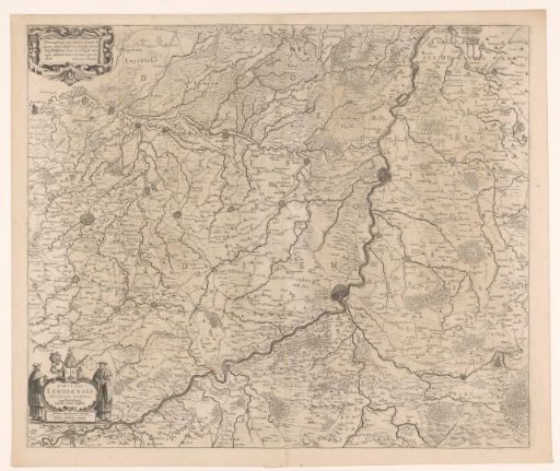
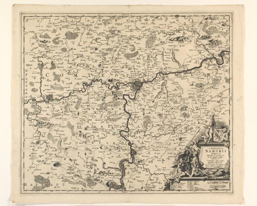
Map of the County of Namur
From the collection of Rijksmuseum, Amsterdam. Free to download, adapt and use — no permission needed.
About this work
Map of the County of Namur. In the lower right, the title cartouche, with the coat of arms of the County of Namur above and a legend and two scale bars below: 1 Gemene Duytsche Myl 15 in een Graad / 1 Fransche Mylen of Uren Gaens. The map is provided with a degree division along the edges.
Rijksmuseum, Amsterdam’s own descriptionCredit lineKaart van het graafschap Namen. 1689 - 1709. Laurens Scherm. Rijksmuseum, Amsterdam. Public domain.