Public domain
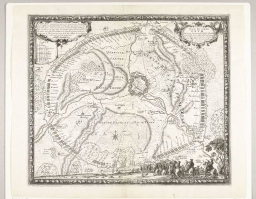
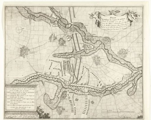
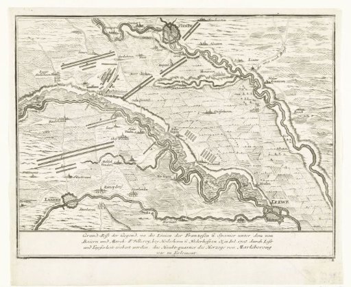
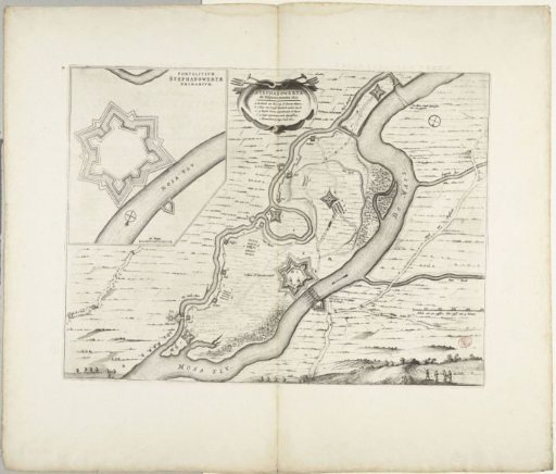
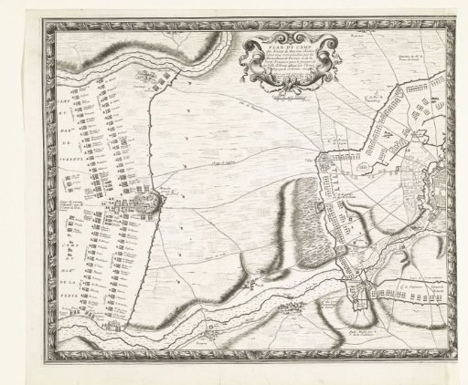
Map with the French army camps during the relief of Arras (left plate), 1654
From the collection of Rijksmuseum, Amsterdam. Free to download, adapt and use — no permission needed.
About this work
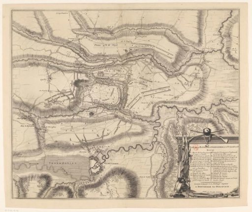
Left sheet of a map showing the French army camps during the relief of the city of Arras (Atrecht), besieged by the Spaniards, 23–25 August 1654. Arras relieved by the French army under Marshal Turenne from the siege by the Spaniards under Louis de Condé and Archduke Leopold William.
Rijksmuseum, Amsterdam’s own descriptionCredit lineKaart met de Franse legerkampen bij het ontzet van Arras (linkerplaat), 1654. 1655. Nicolas Cochin. Rijksmuseum, Amsterdam. Public domain.