Public domain
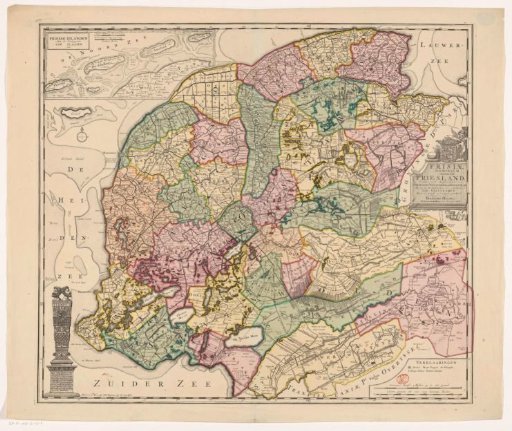
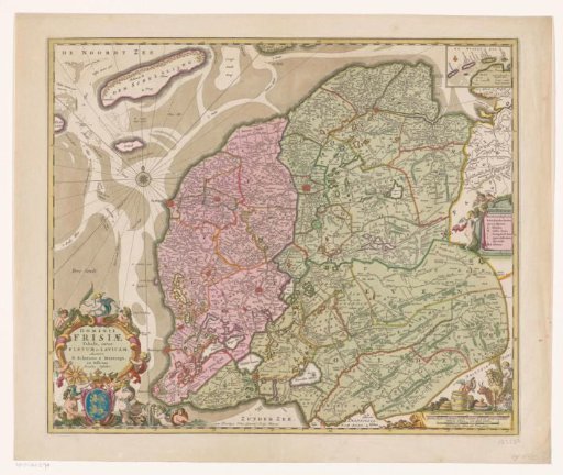
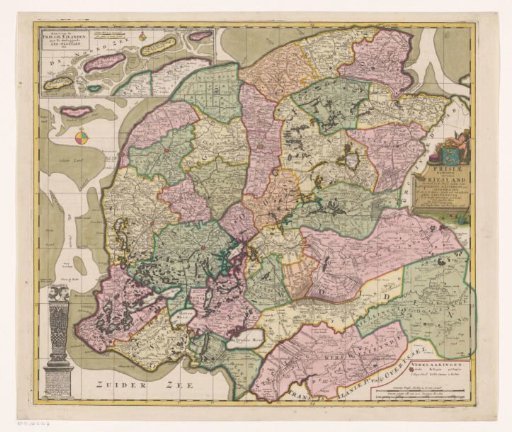
Map of Friesland
From the collection of Rijksmuseum, Amsterdam. Free to download, adapt and use — no permission needed.
About this work
Top left inset map of Vlieland, Terschelling, Ameland and Schiermonnikoog, with two scale bars: German mile 15 in a degree, Hour's walk 20 in a degree. Bottom left image of the statue the Stone Man in Harlingen. Right center title cartouche with above it the coat of arms of Friesland. Bottom right legend and two scale bars: Common German miles 15 in a degree, Hours walk each of 1200 king's rods. Degree division along the edges.
Rijksmuseum, Amsterdam’s own descriptionCredit lineKaart van Friesland. 1706. anonymous. Rijksmuseum, Amsterdam. Public domain.