Public domain
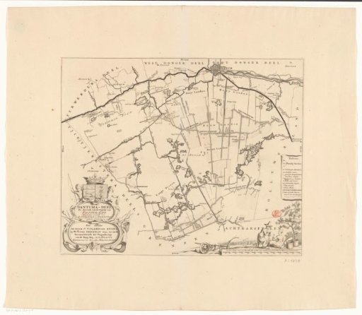
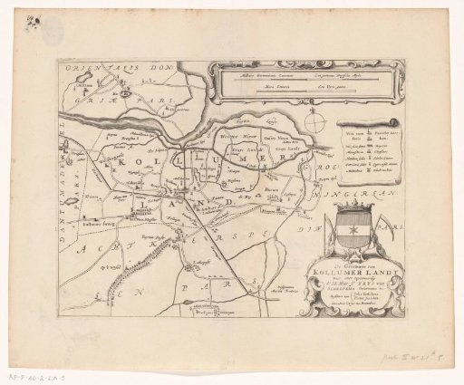
Map of the grietenij Kollumerland and Nieuwkruisland
From the collection of Rijksmuseum, Amsterdam. Free to download, adapt and use — no permission needed.
About this work
Top right: two scale bars: Milliare Germanicum commune / A common German mile, Hora itineris / An hour's walk. Bottom right: cartouche with title and administrative information about the grietenij, above it the coat of arms of Kollumerland.
Rijksmuseum, Amsterdam’s own descriptionCredit lineKaart van de grietenij Kollumerland en Nieuwkruisland. 1664. Jacob van Meurs. Rijksmuseum, Amsterdam. Public domain.