Public domain
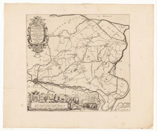
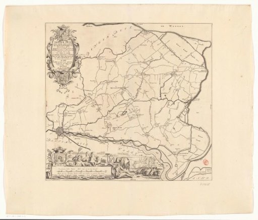
Map of the Grietenij Oostdongeradeel
From the collection of Rijksmuseum, Amsterdam. Free to download, adapt and use — no permission needed.
About this work
Cartouche in the upper left with title, administrative information about the grietenij, and the coats of arms of Oostdongeradeel and of grietman Jonker Ulbe Baron van Aylva. In the lower left, a cartouche with legend and a scale bar: A common half Dutch mile of 15 in a degree - Measure of 1000 king's rods, of which 1200 make a common hour's walk. Surrounding it, the coat of arms of the city of Dokkum, Neptune, two putti, and a farmer.
Rijksmuseum, Amsterdam’s own descriptionCredit lineKaart van de grietenij Oostdongeradeel. 1698. anonymous. Rijksmuseum, Amsterdam. Public domain.