Public domain
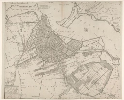
Map of Amsterdam and vicinity
From the collection of Rijksmuseum, Amsterdam. Free to download, adapt and use — no permission needed.
About this work
Top left a scale bar: Scale of Five Hundred Rhenish Rods. To the right of it the legend A-D. Bottom left the title cartouche. The map shows many names of streets within the city walls and mills, paths, ditches and country houses outside. Orientation: north at the top.
Rijksmuseum, Amsterdam’s own descriptionCredit linePlattegrond van Amsterdam en omstreken. 1772. Pieter Mol. Rijksmuseum, Amsterdam. Public domain.
Similar works
 Map of Amsterdam and vicinity
 Map of the Hoogheemraadschap of the Krimpenerwaard (fifth part of the map)
 Map with a concept for the embankment and reclamation of the Nieuwkoopse Plassen
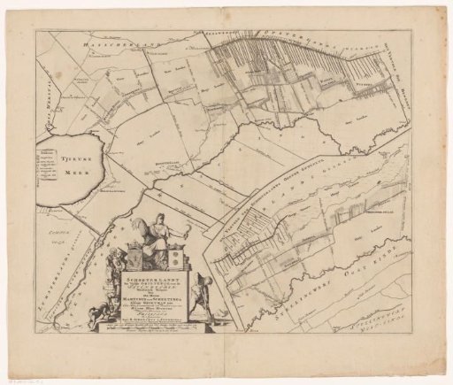 Map of the grietenij Schoterland
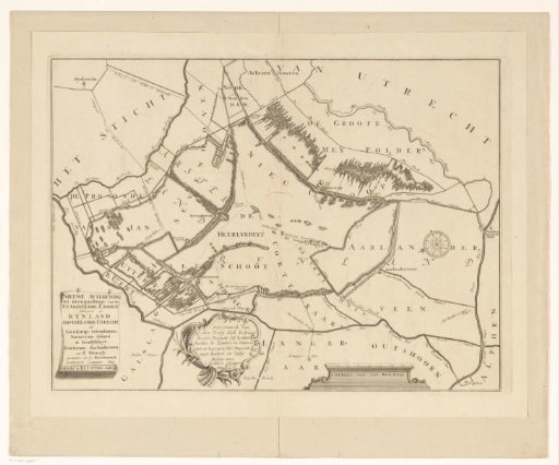 Map of the Polder Lands around Nieuwkoop, Zevenhoven, Nieuwveen, Korteraar and Aarlanderveen
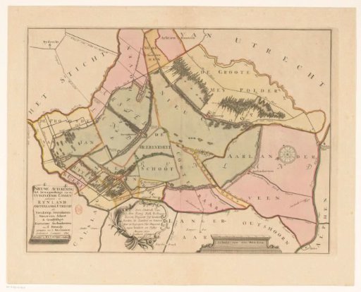 Map of the Polder Lands around Nieuwkoop, Zevenhoven, Nieuwveen, Korteraar and Aarlanderveen