Public domain
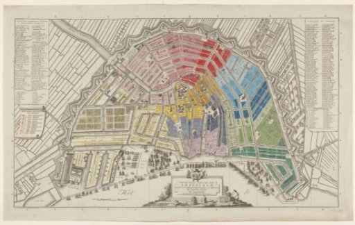
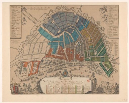
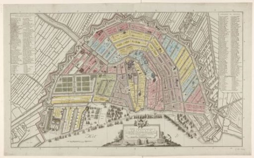
Map of Amsterdam with division into fourteen districts
From the collection of Rijksmuseum, Amsterdam. Free to download, adapt and use — no permission needed.
About this work
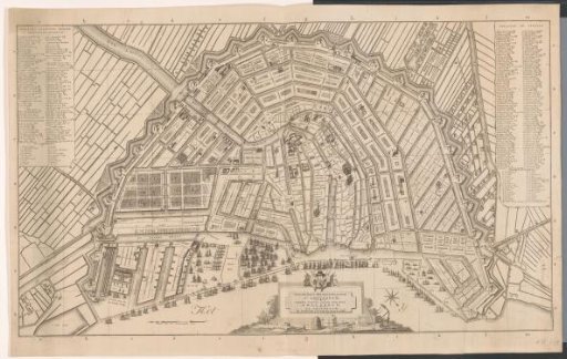
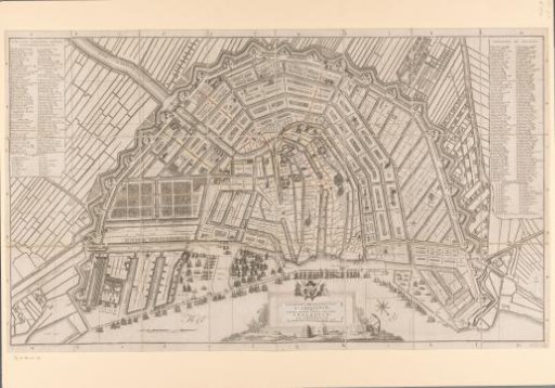
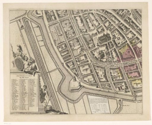
Map of Amsterdam during the Batavian Republic with division into fourteen districts. In the upper left, the legend of buildings and the first part of the legend of sawmills. In the upper right, the legend of streets and alleys and the continuation of the legend of sawmills. In the lower center, the title cartouche. To the left of that, the scale bar: Scale of 2000 Amsterdam Feet. With search grid. Orientation: south-southwest at the top.
Rijksmuseum, Amsterdam’s own descriptionCredit linePlattegrond van Amsterdam met indeling in veertien districten. 1795 - 1796. Cornelis van Baarsel. Rijksmuseum, Amsterdam. Public domain.