Public domain
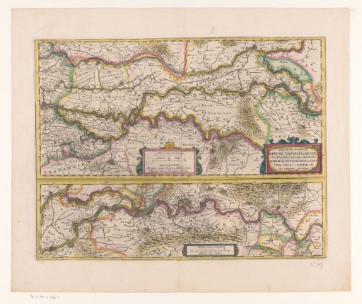
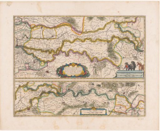
Map of a section of the course of the Rhine, the Waal and the Meuse
From the collection of Rijksmuseum, Amsterdam. Free to download, adapt and use — no permission needed.
About this work
The map consists of two parts. Middle right: title cartouche. Lower center of the upper part: cartouche with two scale bars: 1 German Mile / 2 French Miles. Lower center of the lower part: cartouche with the same scale bars. The map is provided with a degree division along the edges. With French text on verso.
Rijksmuseum, Amsterdam’s own descriptionCredit lineKaart van een deel van het verloop van de Rijn, de Waal en de Maas. 1633. anonymous. Rijksmuseum, Amsterdam. Public domain.
Similar works
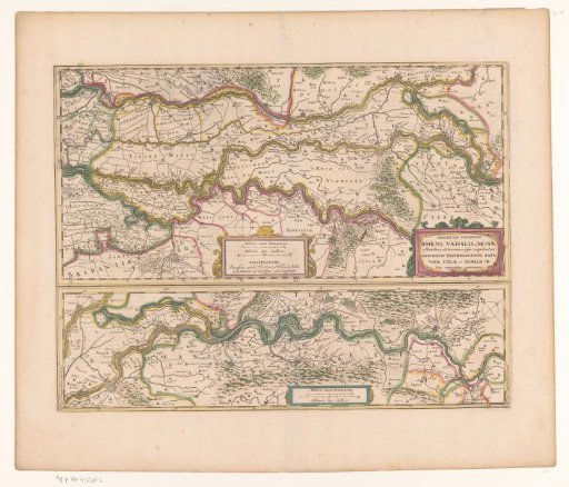 Map of a Section of the Course of the Rhine, the Waal, and the Meuse
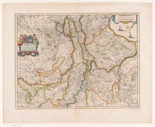 Map of Gelderland
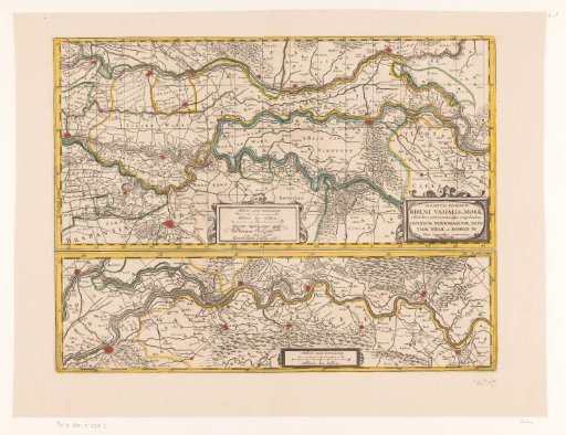 Map of a section of the course of the Rhine, the Waal, and the Meuse
 Map of a section of the course of the Rhine, the Waal and the Meuse
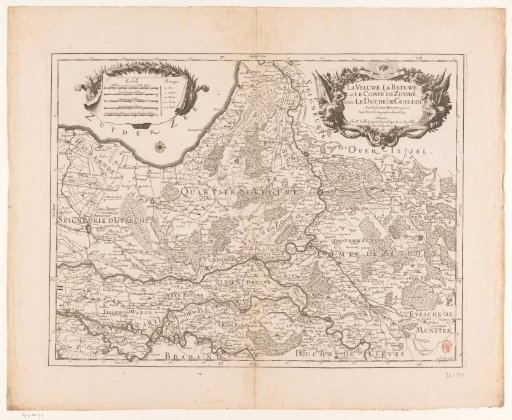 Map of the Veluwe and the Betuwe
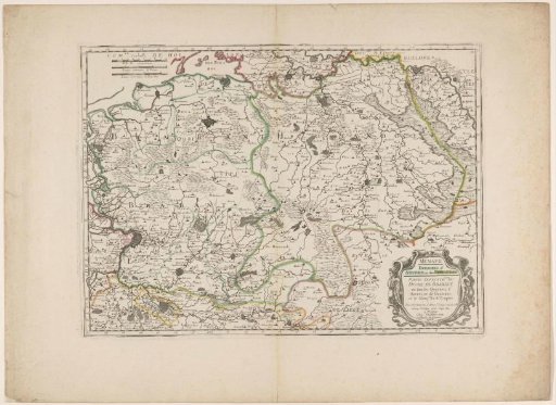 Map of the northern part of the Duchy of Brabant