Public domain
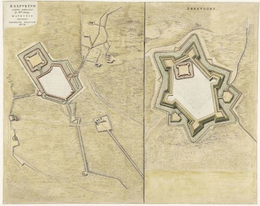
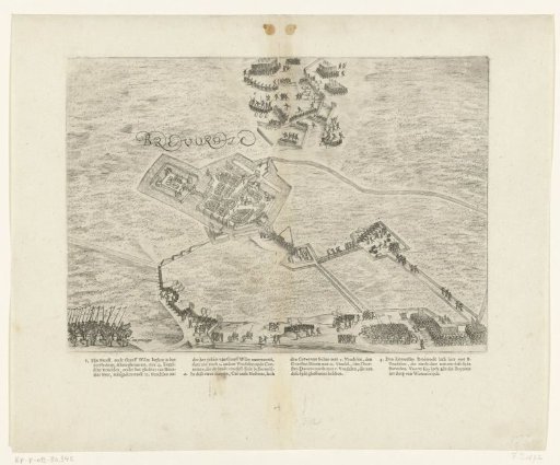
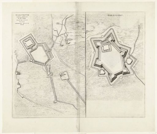
Map of the town and castle of Bredevoort with the fortifications, 1597
From the collection of Rijksmuseum, Amsterdam. Free to download, adapt and use — no permission needed.
About this work
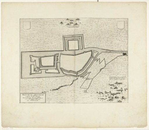
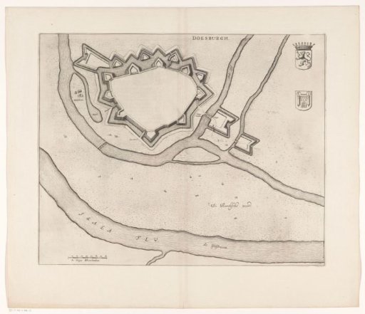
Plan of the city and castle of Bredevoort with the fortifications, at the time of the capture by the States army under Prince Maurice, 12 October 1597. Double-folded sheet printed on the reverse with text in Latin.
Rijksmuseum, Amsterdam’s own descriptionSubjects
Credit linePlattegrond van de stad en het kasteel van Bredevoort met de versterkingen, 1597. 1647 - 1649. anonymous. Rijksmuseum, Amsterdam. Public domain.