Public domain
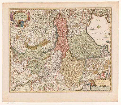
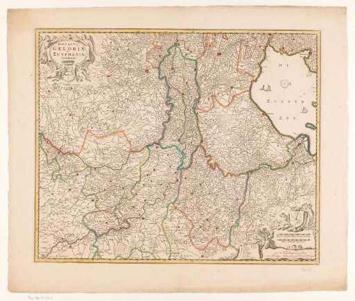
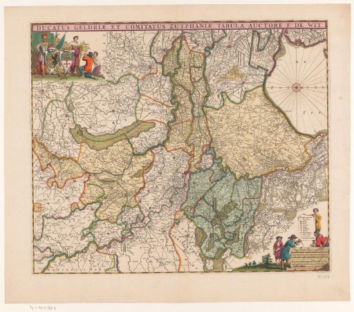
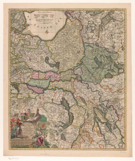
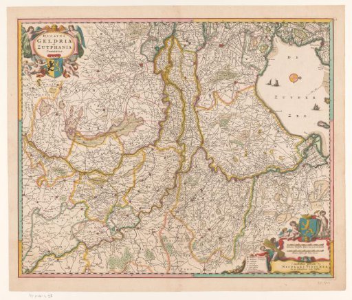
Map of Gelderland
From the collection of Rijksmuseum, Amsterdam. Free to download, adapt and use — no permission needed.
About this work
Upper left: title cartouche, with the coat of arms of Guelders at the bottom. Lower right: cartouche with two scale bars: 3 Common German Miles of 15 in a degree / 4 French Miles or hours of travel. Above this: coat of arms of the county of Zutphen, left: legend. The map is provided with a degree division along the edges.
Rijksmuseum, Amsterdam’s own descriptionCredit lineKaart van Gelderland. 1656 - 1677. anonymous. Rijksmuseum, Amsterdam. Public domain.