Public domain
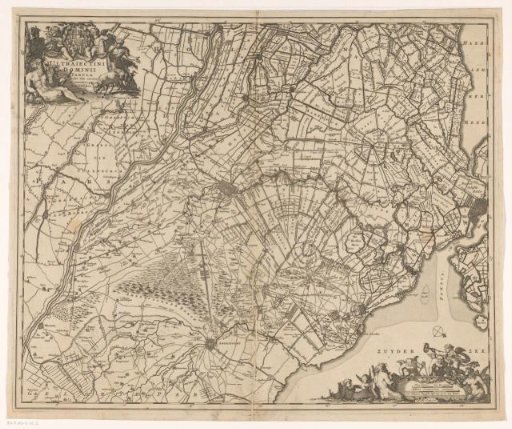
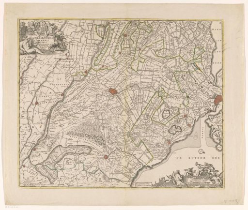
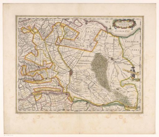
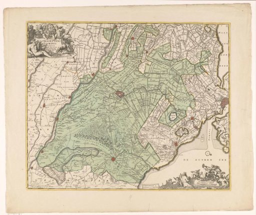
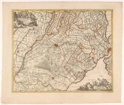
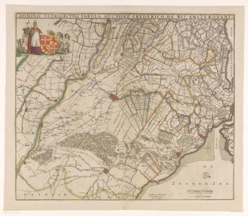
Map of the province of Utrecht
From the collection of Rijksmuseum, Amsterdam. Free to download, adapt and use — no permission needed.
About this work
Title at the top. In the upper left, the coat of arms of the province of Utrecht, surrounded by a cleric holding the Dom tower (likely a bishop or dean) and putti. In the lower right, two scale bars: Milliare Germanicum commune 15 in uno gradu / A common German mile of 15 in a degree; Hore itineris / An hour's journey.
Rijksmuseum, Amsterdam’s own descriptionSubjects
Credit lineKaart van de provincie Utrecht. 1655 - 1706. anonymous. Rijksmuseum, Amsterdam. Public domain.