Public domain
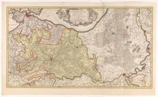
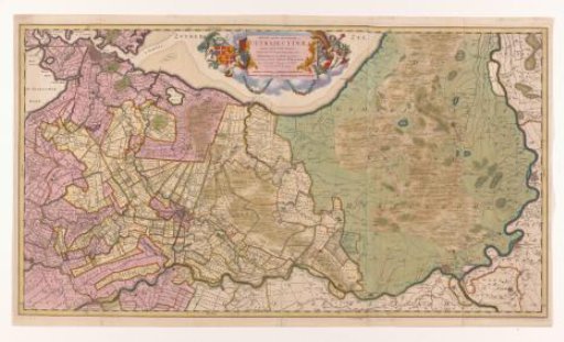
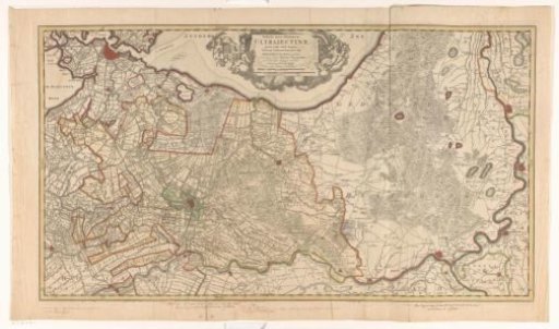
Map of the province of Utrecht and the Veluwe
From the collection of Rijksmuseum, Amsterdam. Free to download, adapt and use — no permission needed.
About this work
In the center at the top a cartouche with the title and two scale bars: Two hours' travel; Two common Dutch miles of 15 to a degree. Surrounding this the coat of arms of the province of Utrecht and putti. Degree division along the edges. Various handwritten scale bars have been added inside and outside the plate border.
Rijksmuseum, Amsterdam’s own descriptionCredit lineKaart van de provincie Utrecht en de Veluwe. 1679 - in or before 1682. Luggert van Anse. Rijksmuseum, Amsterdam. Public domain.