Public domain
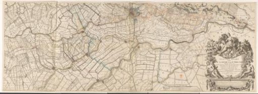
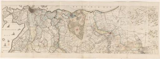
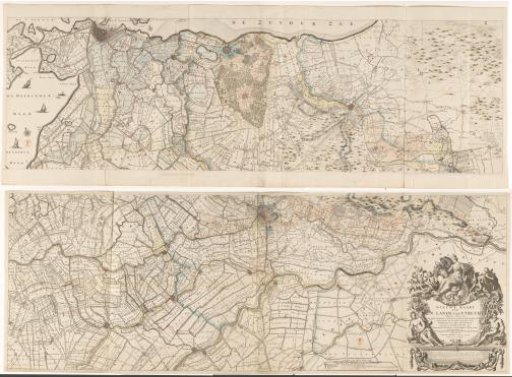
Map of the province of Utrecht, consisting of two parts
From the collection of Rijksmuseum, Amsterdam. Free to download, adapt and use — no permission needed.
About this work
Lower right, the title cartouche with a variant of the coat of arms of the Archdiocese of Utrecht. Above the coat of arms, a female figure with four towers on her head, in one hand the horn of plenty and in the other a sheaf of corn. Further around the cartouche, a river god with a female counterpart and putti with attributes referring to hunting, agriculture, peat digging and fishing. Below the cartouche, an advertisement by the printer. To the left of the cartouche, a legend and a scale: Scale of two thousand Sticht rods. Various handwritten additions have been made on the map.
Rijksmuseum, Amsterdam’s own descriptionCredit lineKaart van de provincie Utrecht, bestaande uit twee delen. 1696. Thomas Doesburgh. Rijksmuseum, Amsterdam. Public domain.