Public domain
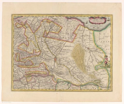
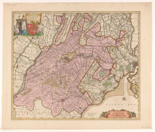
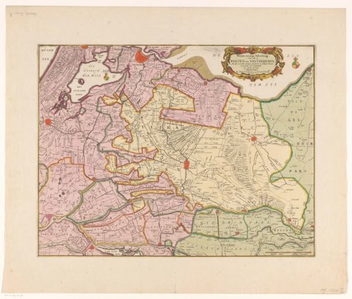
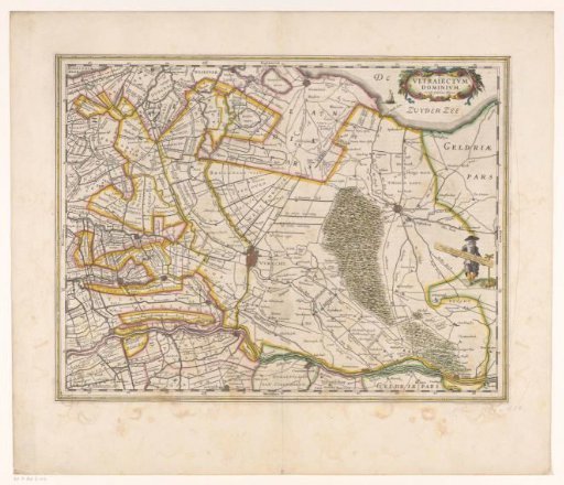
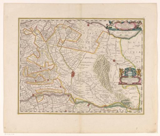
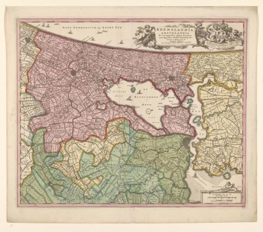
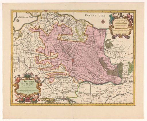
Map of the province of Utrecht
From the collection of Rijksmuseum, Amsterdam. Free to download, adapt and use — no permission needed.
About this work
Title cartouche in the lower left. Five scale bars in the upper right: Mille pas geometriques ou milles d'Italie; Lieües communes d'Allemagne; and three others. The map is provided with a grid and a degree division along the edges.
Rijksmuseum, Amsterdam’s own descriptionSubjects
Credit lineKaart van de provincie Utrecht. 1696. Pieter Mortier (I). Rijksmuseum, Amsterdam. Public domain.