Public domain
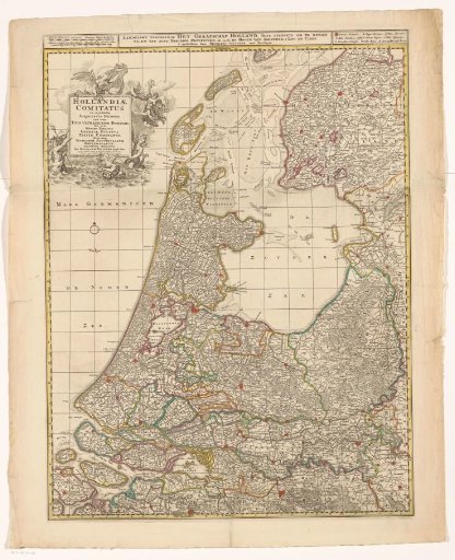
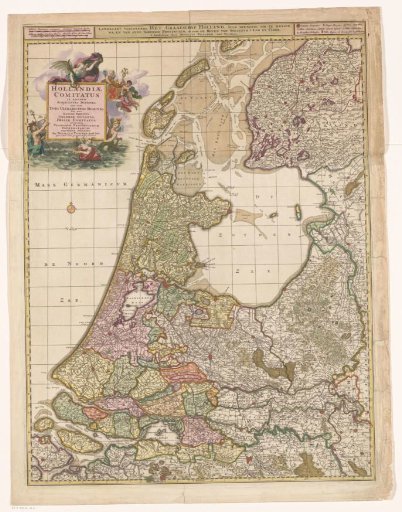
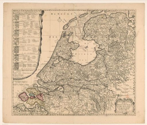
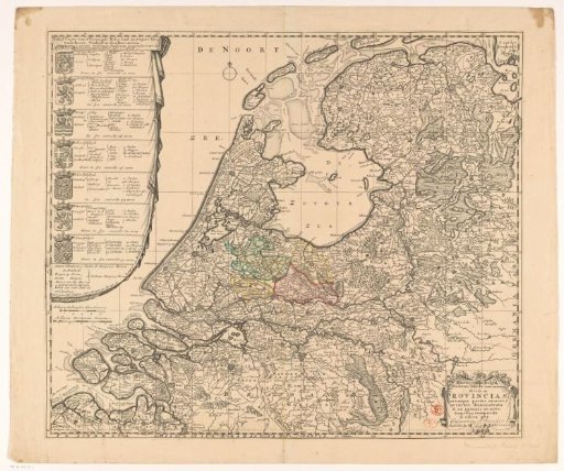
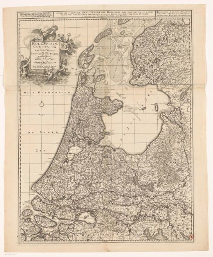
Map of the County of Holland
From the collection of Rijksmuseum, Amsterdam. Free to download, adapt and use — no permission needed.
About this work
Map of the County of Holland and surrounding areas. At the very top center, the Dutch title. To the left of it, two scales: Milliaria Germanica communia / Gemeene Duytsche mylen; Milliaria Gallica sive horae itineris / Fransche mylen ofte uren gaens. To the right of that title, the legend. On the top left of the map, a cartouche with the Latin title. Around it, Fame, putti with the coat of arms of the County of Holland, mermaids, and Neptune. The map is provided with a search grid and a degree division along the edges.
Rijksmuseum, Amsterdam’s own descriptionCredit lineKaart van het graafschap Holland. c. 1690. Gilliam van der Gouwen. Rijksmuseum, Amsterdam. Public domain.