Public domain
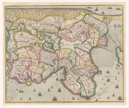
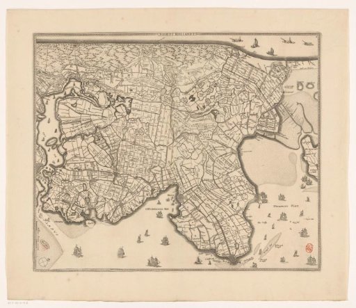
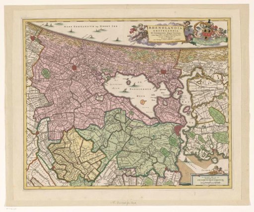
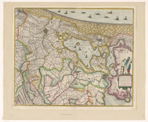
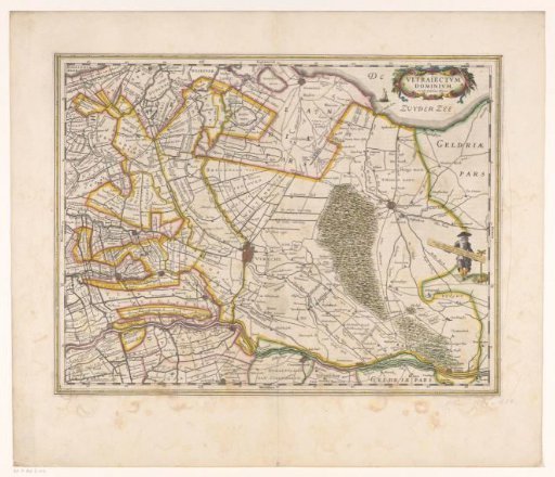
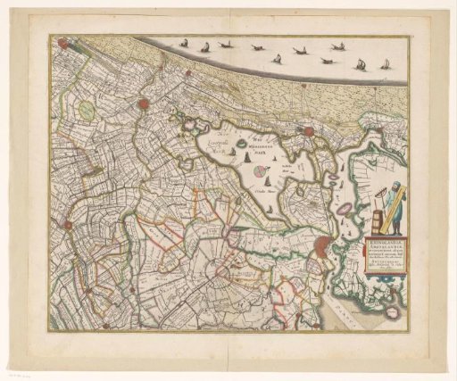
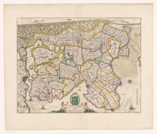
Map of the northern part of the county of Holland
From the collection of Rijksmuseum, Amsterdam. Free to download, adapt and use — no permission needed.
About this work
At the bottom of the title cartouche: the coat of arms of West Friesland in a laurel wreath, a two-tailed mermaid, and a two-tailed triton. Bottom right: a scale bar: Miliare Hollandicum, sive 2000 virgae Rijnlandicae. Orientation: north to the right. On verso: Dutch text.
Rijksmuseum, Amsterdam’s own descriptionCredit lineKaart van het noordelijke deel van het graafschap Holland. 1649 - 1661. anonymous. Rijksmuseum, Amsterdam. Public domain.