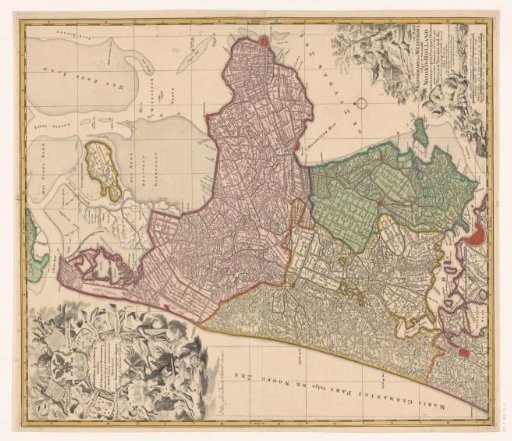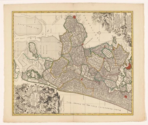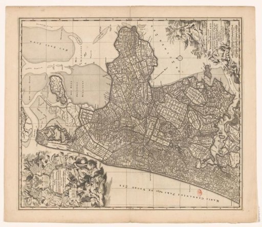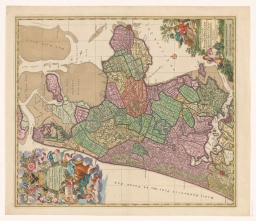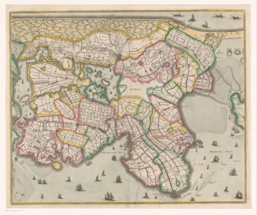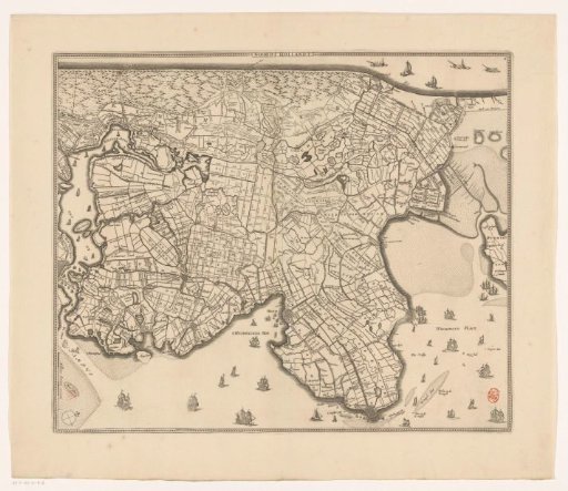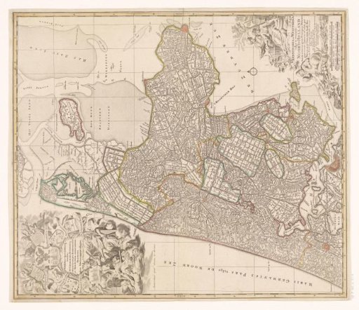
Map of Kennemerland and West-Friesland
From the collection of Rijksmuseum, Amsterdam. Free to download, adapt and use — no permission needed.
In the upper left, a cartouche with the inscription, the coat of arms of the High Council of the Outflowing Sluices in Kennemerland and West-Friesland, and the family coats of arms of the dike reeve and the high councilors. Below, a female figure holding a mill, and another female figure holding a piece of cloth, beneath which a river god and Neptune are chained. Below them, two female figures, Jupiter, and a river god. In the lower right, the title cartouche surrounded by various figures and objects referring to agriculture. Below, two scale bars: Sesqui milliare Germanicum quorum 15 in uno gradu / One and a half German miles of 15 to a degree; Milliaria Gallica quae et horae itineris 20 in uno gradu / French miles or hours of walking of 20 to a degree. The map is equipped with a search grid and a degree division along the edges.
Rijksmuseum, Amsterdam’s own description