Public domain
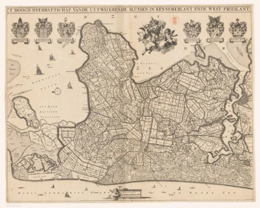
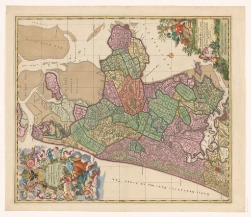
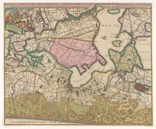
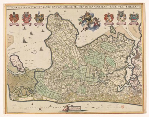
Map of Kennemerland and West-Friesland
From the collection of Rijksmuseum, Amsterdam. Free to download, adapt and use — no permission needed.
About this work
Along the top edge, the title. In the upper left, the family coats of arms of the dike reeve and two high councilors. In the upper right, the coat of arms of the High Council of the Outflowing Sluices in Kennemerland and West-Friesland, and the family coats of arms of two high councilors and the steward. At the bottom center, a scale bar: 15 hundred Rhineland rods, or 1 hour of walking. Orientation: north to the left.
Rijksmuseum, Amsterdam’s own descriptionCredit lineKaart van Kennemerland en West-Friesland. 1682 - 1686. Coenraet Decker. Rijksmuseum, Amsterdam. Public domain.