Public domain
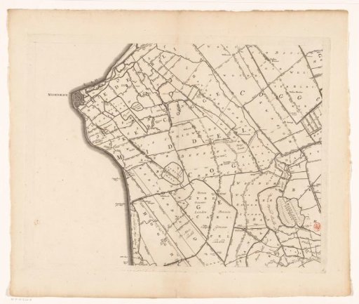
Map of Kennemerland and West-Friesland (sixth part)
From the collection of Rijksmuseum, Amsterdam. Free to download, adapt and use — no permission needed.
About this work
Sixth part of a map of Kennemerland and West-Friesland. Numbered in the lower right: 6.
Rijksmuseum, Amsterdam’s own descriptionCredit lineKaart van Kennemerland en West-Friesland (zesde deel). 1680. Coenraet Decker. Rijksmuseum, Amsterdam. Public domain.
Similar works
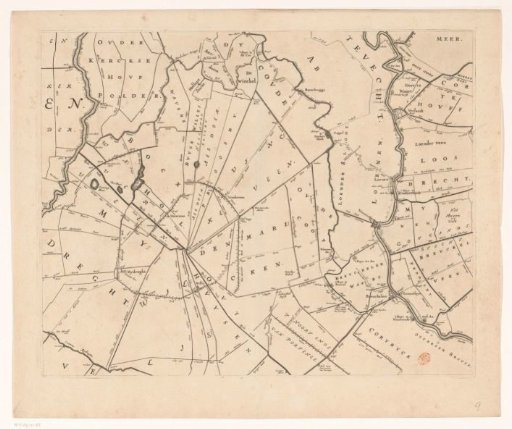 Map of the Hoogheemraadschap of Rijnland (ninth part)
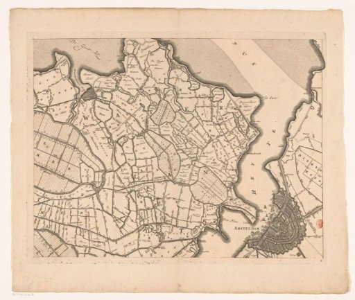 Map of Kennemerland and West-Friesland (eighth part)
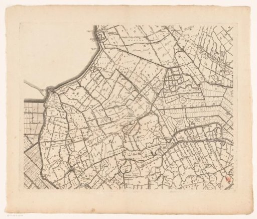 Map of Kennemerland and West-Friesland (tenth part)
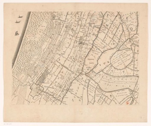 Map of the Hoogheemraadschap of Rijnland (thirteenth part)
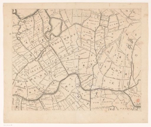 Map of the Hoogheemraadschap of Rijnland (eleventh part)
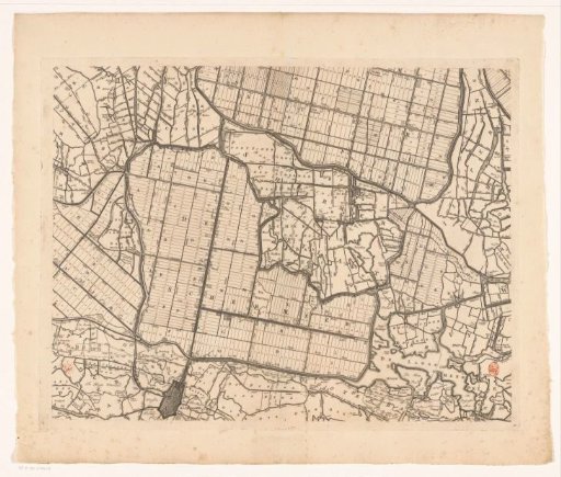 Map of Kennemerland and West-Friesland (part eleven)