Public domain
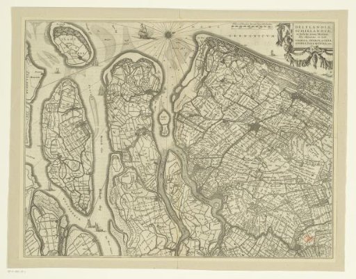
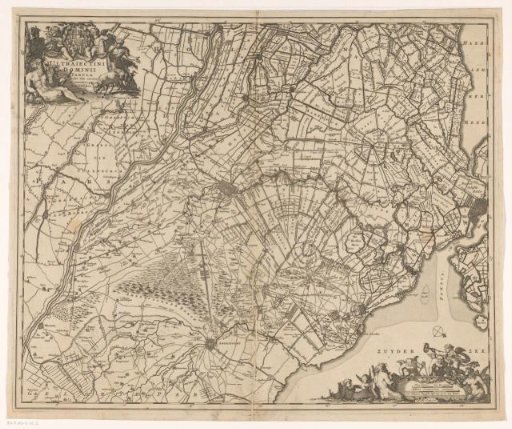
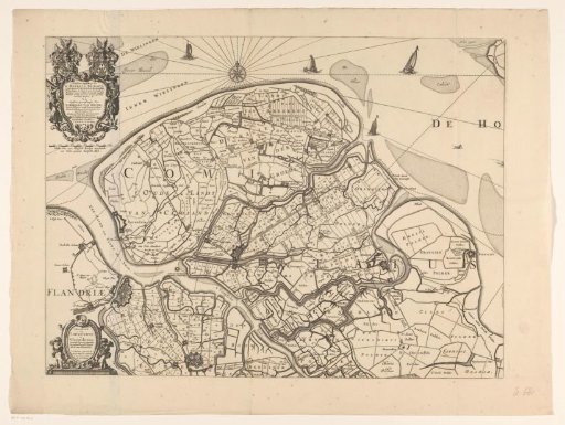
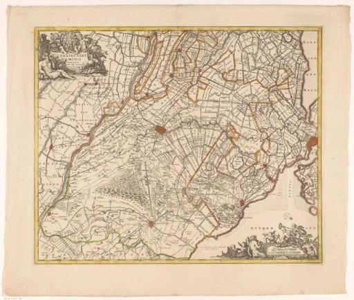
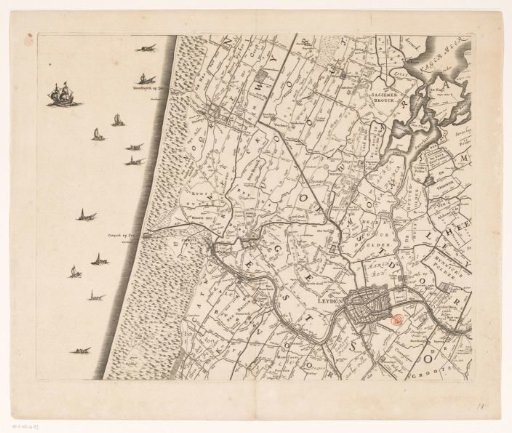
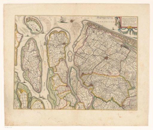
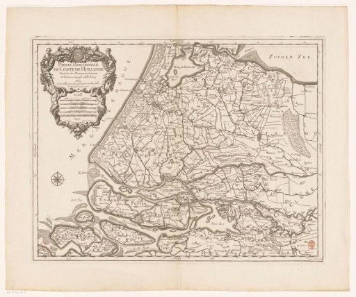
Map of the County of Holland (lower part)
From the collection of Rijksmuseum, Amsterdam. Free to download, adapt and use — no permission needed.
About this work
Lower part of a map of the County of Holland. Top left a cartouche with at the top the coat of arms of the County of Holland and below the title, the legend, and five scale bars: Milles pas geometriques ou milles d'Italie; Lieües communes d'Allemagne; and three others. Degree division along the edges.
Rijksmuseum, Amsterdam’s own descriptionCredit lineKaart van het graafschap Holland (onderste deel). 1700. Louis Cordier. Rijksmuseum, Amsterdam. Public domain.