Public domain
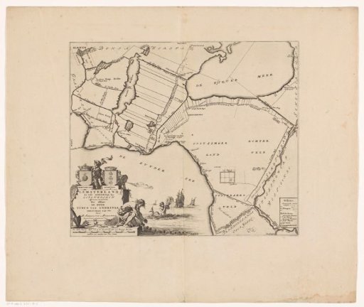
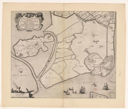
Map of the Koegras polder with the Le Maires polder on it
From the collection of Rijksmuseum, Amsterdam. Free to download, adapt and use — no permission needed.
About this work
Title cartouche in the upper left, scale bar in the lower left: 1000 Rynlantsche roeden sijnde een halve duytsche myle. Above it a fisherman.
Rijksmuseum, Amsterdam’s own descriptionCredit lineKaart van de polder het Koegras met daarop de Le Maires polder. 1640 - 1652. anonymous. Rijksmuseum, Amsterdam. Public domain.