Public domain
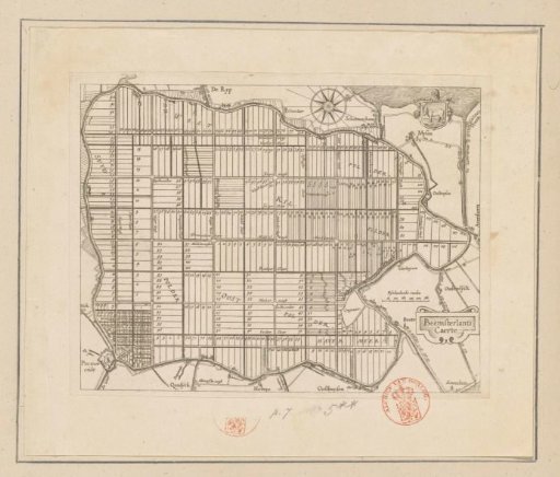
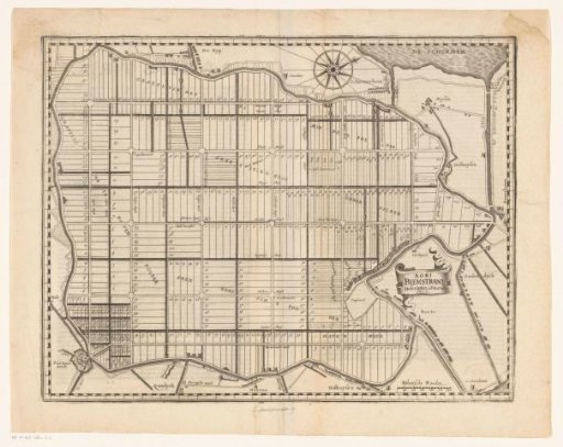
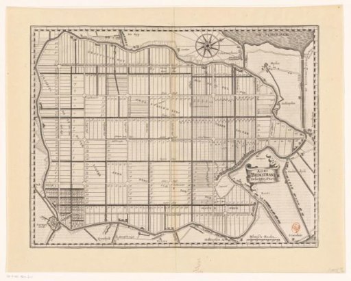
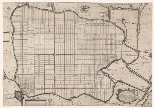
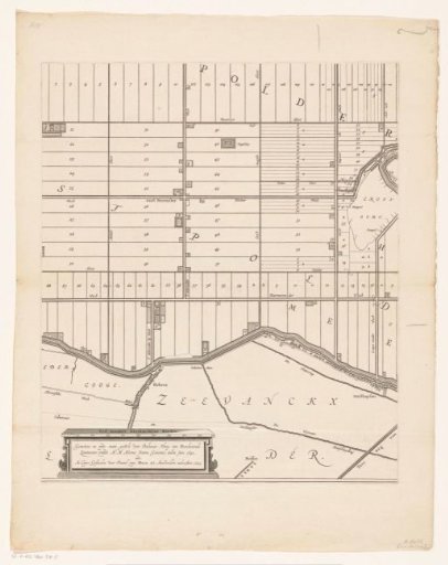
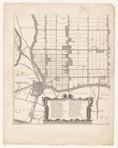
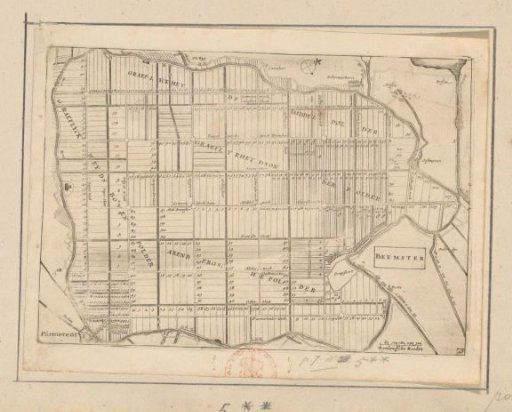
Map of the Beemster
From the collection of Rijksmuseum, Amsterdam. Free to download, adapt and use — no permission needed.
About this work
Map of the Beemster after the drainage (completed in 1612). Title on the right, bottom right a scale bar: Rhineland rods. Orientation: north to the right. Numbered bottom right: 28.
Rijksmuseum, Amsterdam’s own descriptionCredit lineKaart van de Beemster. 1635. anonymous. Rijksmuseum, Amsterdam. Public domain.