Public domain
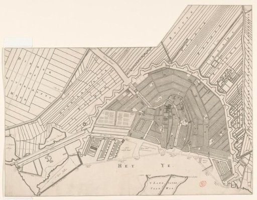
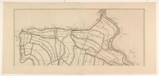
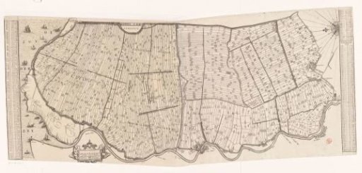
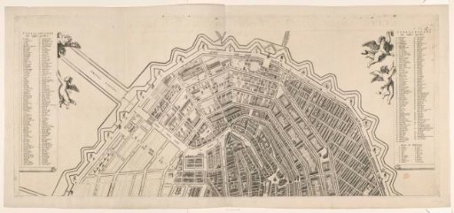
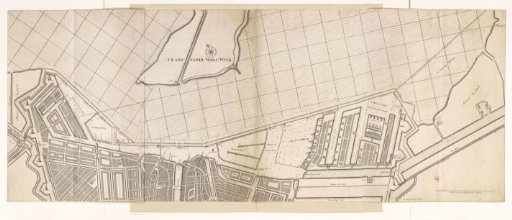
Map of a part of Amsterdam and the IJ
From the collection of Rijksmuseum, Amsterdam. Free to download, adapt and use — no permission needed.
About this work
Map of a part of Amsterdam with the Rietlanden, the Western and Eastern Islands and a part of the IJ. Scale bar in the lower right: Scale of 150 Rhenish rods.
Rijksmuseum, Amsterdam’s own descriptionCredit lineKaart van een deel van Amsterdam en het IJ. 1646 - 1693. Bastiaen Stopendael. Rijksmuseum, Amsterdam. Public domain.