Public domain
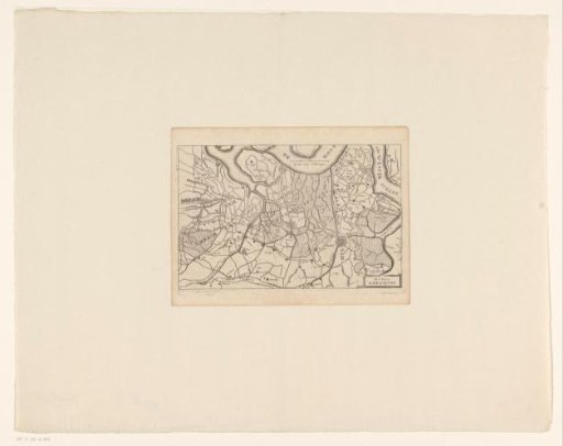
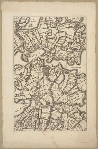
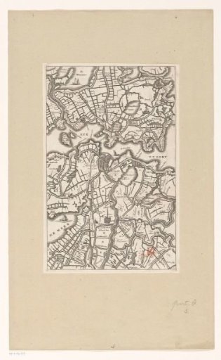
Map of the Area Around Amsterdam
From the collection of Rijksmuseum, Amsterdam. Free to download, adapt and use — no permission needed.
About this work
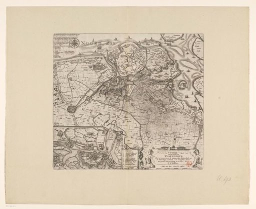
Map of the area around Amsterdam. Depicts the situation before the drainage of the many lakes in the area (at least before 1644: drainage of the Slotermeer). This map, however, was made later, in the style of a large map of Holland by Joost Jansz. Bilhamer (see RP-P-AO-7-2 and RP-P-AO-7-65).
Rijksmuseum, Amsterdam’s own descriptionCredit lineKaart van het gebied rond Amsterdam. in or before 1748. anonymous. Rijksmuseum, Amsterdam. Public domain.