Public domain
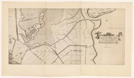
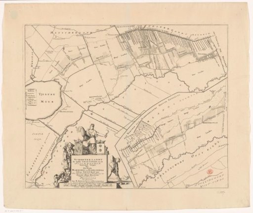
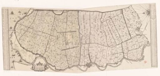
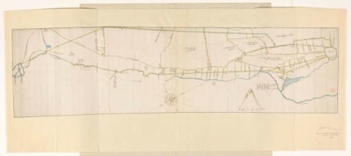
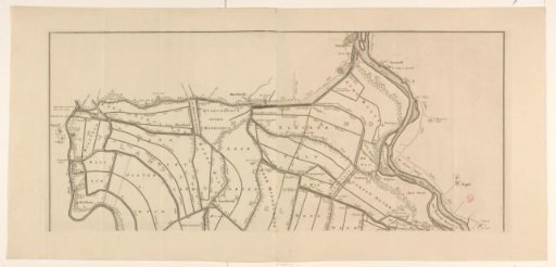
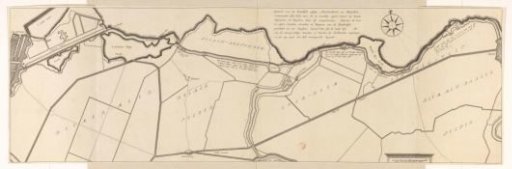
Map of the sea dyke east of Muiden, 1703
From the collection of Rijksmuseum, Amsterdam. Free to download, adapt and use — no permission needed.
About this work
Map of the sea dike east of Muiden, from 1703. Title above right of center. Scale bar in the lower right: Schale van 200 roed: Rynl: maat. This map appears in a report by Jan van der Heyden (de Jonge) on the condition of this wooden dike in 1703. In 1735, 1736, and 1737 the dike was to be reinforced with a stone structure.
Rijksmuseum, Amsterdam’s own descriptionCredit lineKaart van de zeedijk ten oosten van Muiden, 1703. 1703. anonymous. Rijksmuseum, Amsterdam. Public domain.