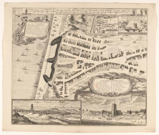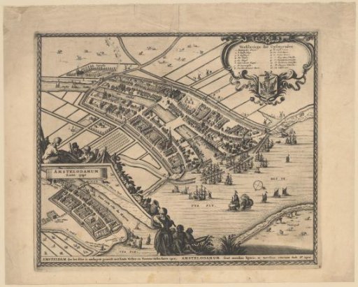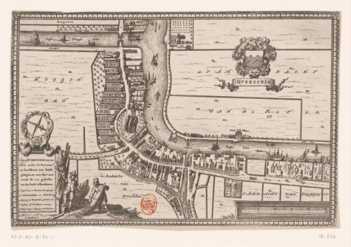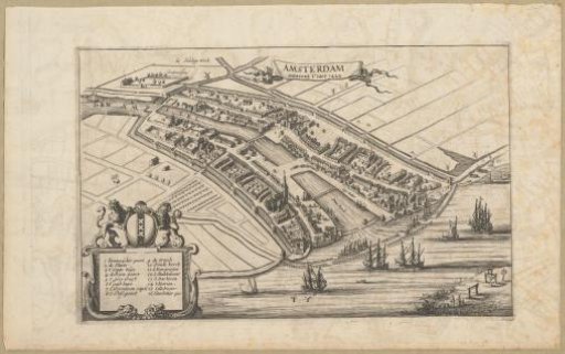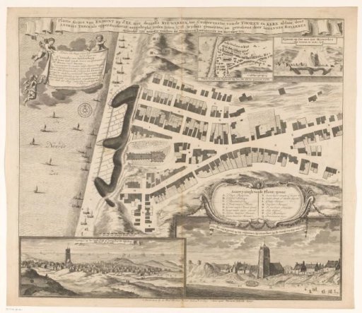
Map of Egmond aan Zee with fortifications, 1718
From the collection of Rijksmuseum, Amsterdam. Free to download, adapt and use — no permission needed.
Map of Egmond aan Zee with the protective works added to the coast in 1718. Around Christmas 1717 a storm had largely destroyed the dunes, causing the church to almost end up on the beach; in 1718 measures were therefore taken to protect the church and the village. The large map with a legend A-Q is central. Bottom left on this map a scale bar: Schaale van twintigh roed: Hontb:. Along the top the title, below left a cartouche with the dedication. Top right a map of Egmond aan Zee from 1686 with its own scale bar: Schaale van vyftigh roeden Hontsbos. Next to it a view of the village with the protective works in 1718, seen from the sea. Bottom left a view of the village seen from the dunes between Egmond aan Zee and Egmond aan den Hoef. Bottom right a view of Egmond aan Zee seen from the sea shortly after the storm of 1717.
Rijksmuseum, Amsterdam’s own description