Public domain
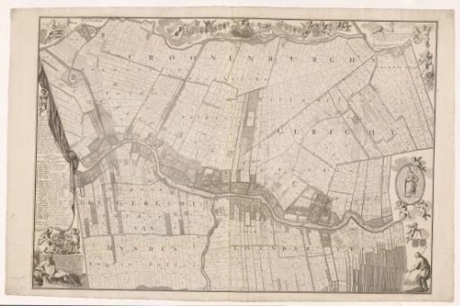
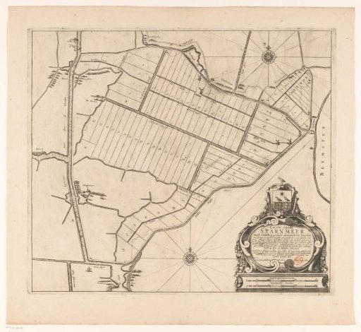
Map of the Plots of the Starnmeerpolder, 1643
From the collection of Rijksmuseum, Amsterdam. Free to download, adapt and use — no permission needed.
About this work
Map showing the polder dyke and the lots allocated on 27 August 1643 in the Starnmeerpolder and the Kamerhop. In the lower right corner a cartouche with the polder's coat of arms, the title, an explanation, and two scale bars: 300 Sijpsche dyckmaet rods; 300 Rijnland rods.
Rijksmuseum, Amsterdam’s own descriptionCredit lineKaart met de kavels van de Starnmeerpolder, 1643. in or after 1643. anonymous. Rijksmuseum, Amsterdam. Public domain.