Public domain
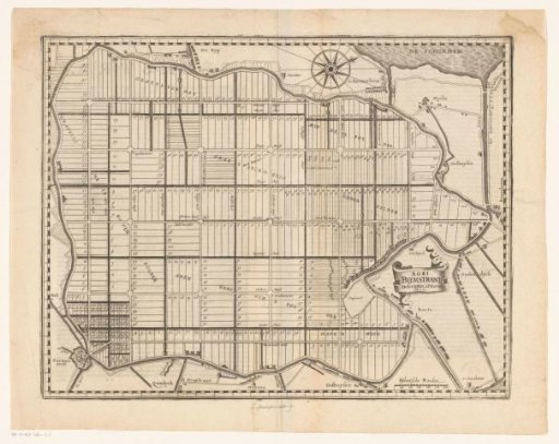
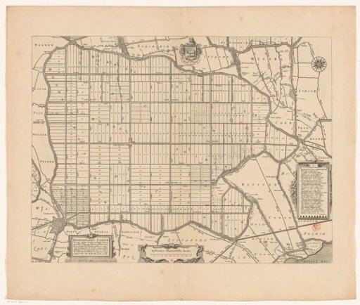
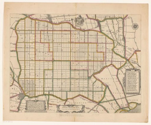
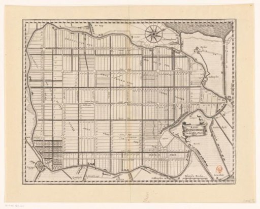
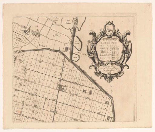
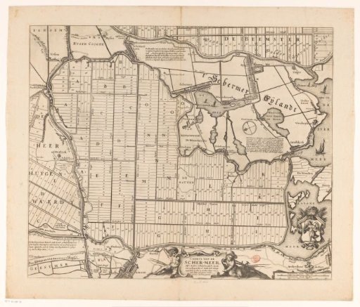
Map of the Schermer after the completion of the embankment and the allocation of the plots, 1635
From the collection of Rijksmuseum, Amsterdam. Free to download, adapt and use — no permission needed.
About this work
Map of the Schermerpolder after completion of the dike and allocation of the plots on October 25, 1635. At the bottom in the center the title cartouche. Bottom right a coat of arms with a guardian angel: Schermer's Protector (possibly the then coat of arms of the polder). Below it two scale bars: 600 Schermeer land rods; 600 Schermeer dyke rods.
Rijksmuseum, Amsterdam’s own descriptionCredit lineKaart van de Schermer na voltooiing van de bedijking en verloting van de kavels, 1635. 1662. Claes Jansz. Visscher (II). Rijksmuseum, Amsterdam. Public domain.