Public domain
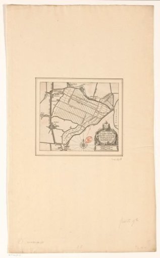
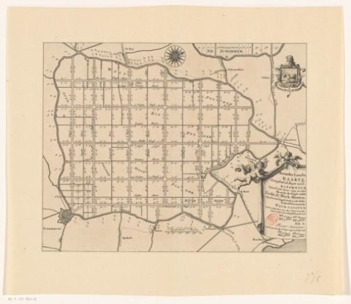
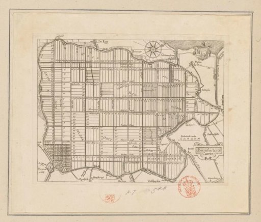
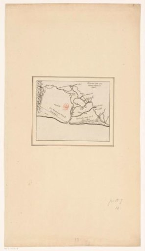
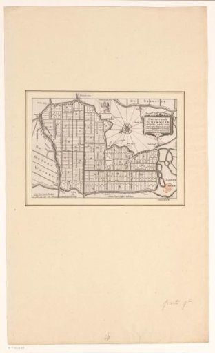
Map of the Schermer after the completion of the embankment and the division of the plots, 1635
From the collection of Rijksmuseum, Amsterdam. Free to download, adapt and use — no permission needed.
About this work
Map of the Schermerpolder after completion of the dyking and allocation of the lots on 25 October 1635. In the lower left corner a scale bar: 500 Scher-Meer land rods. In the upper middle a coat of arms with a guardian angel: Schermeers Beschermer (possibly the then coat of arms of the polder). In the upper right corner the title cartouche.
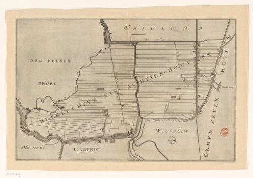
Rijksmuseum, Amsterdam’s own descriptionCredit lineKaart van de Schermer na voltooiing van de bedijking en verloting van de kavels, 1635. in or after 1635 - before. Salomon Rogiers. Rijksmuseum, Amsterdam. Public domain.