Public domain
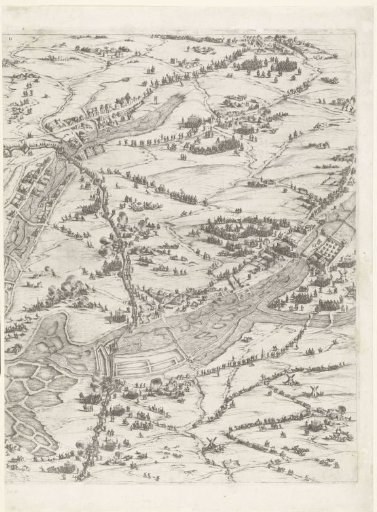
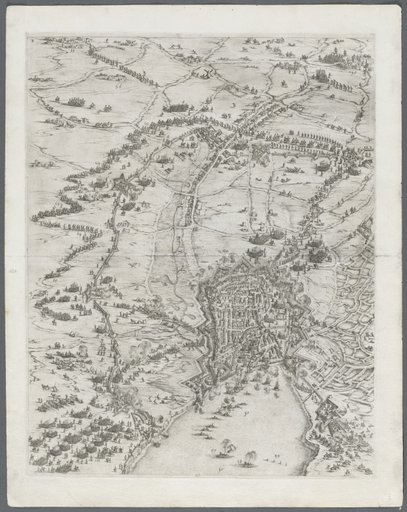
Siege of La Rochelle, September 1627–October 1628 (central map, upper right section)
From the collection of Rijksmuseum, Amsterdam. Free to download, adapt and use — no permission needed.
About this work
Sixteenth part (central map, upper right section) of a print of the siege of the Huguenot stronghold La Rochelle in the years 1627 and 1628, executed on the order of the French king by the French army under the command of Cardinal Richelieu. On this sheet a part of the area around La Rochelle, populated by many small figures. The siege works enclosing the city (redoubts, fortifications, ramparts, etc.) are clearly recognizable. Two rivers or parts of flooded land run across the map.
Rijksmuseum, Amsterdam’s own descriptionCredit lineBeleg van La Rochelle, september 1627-oktober 1628 (centrale kaart, deel rechtsboven). 1628 - 1631. Jacques Callot. Rijksmuseum, Amsterdam. Public domain.
Similar works
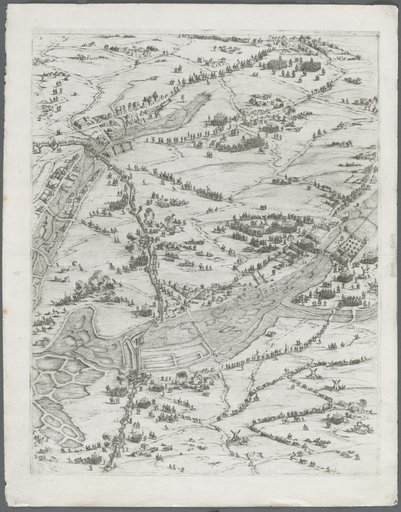 The Siege of La Rochelle: Plate 7
![The Siege of La Rochelle [plate 7 of 16; set comprises 1952.8.97-112]](https://thumbs.arkivism.com/nga-41834.jpg) The Siege of La Rochelle [plate 7 of 16; set comprises 1952.8.97-112]
The Siege of La Rochelle [plate 7 of 16; set comprises 1952.8.97-112]
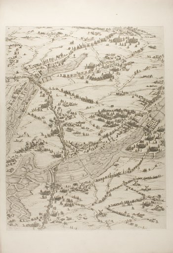 Plate Three from La Siège de la Rochelle
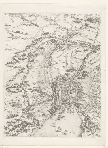 Siege of La Rochelle, September 1627–October 1628 (central map, upper middle section)
 The Siege of La Rochelle: Plate 6
![The Siege of La Rochelle [plate 6 of 16; set comprises 1952.8.97-112]](https://thumbs.arkivism.com/nga-41833.jpg) The Siege of La Rochelle [plate 6 of 16; set comprises 1952.8.97-112]
The Siege of La Rochelle [plate 6 of 16; set comprises 1952.8.97-112]